What is recorded here
Four thousand years ago, people heated water in stone troughs at Newrath Little, then drank, cooked or cleaned beside them. Hazel charcoal, goosefoot seeds and broken burnt stone still mark the troughs, gully and small structure area. The road works revealed a place where heat, water and everyday life met on an open woodland edge.
Situated in a slightly undulating landscape. Archaeological testing (04E0914) by S. Delaney (2005) at Testing Area 13 of Contract 4 of the M3 motorway identified (excavations.ie 2004:1306) a spread of burnt stone material on the route of the N52 Kells link-road that was completely excavated (E003154) by Y. Whitty as Newrath Little 2 in December 2006 (excavations.ie 2007:1356). A spread of broken and burnt stone (dims 13.3m NE-SW; 5.7m NW-SE; max. T 0.1m) extended a little outside the excavated area to the NW, but its material also contributed to the fill of three troughs extending S from the mound. A circular trough (diam. 1.47-1.6m; D 0.45m) had steep sides and a flat base with a burnt stone fill. It was connected by a gully (L 1.38m; Wth 0.74m; D 0.16m) extending W to a larger gully (L 4.2m; Wth 1.2m; D 0.2m) extending NW-SE. A circular trough (diam. 1.87-1.9m; D 0.19m) is just S of the S end of this gully. A sample of hazel charcoal from the bottom of this trough provided a C14 date of 2023-1828 cal. BC (UBA 12063). The third subcircular trough (dims 1.84m x 1.4m; D 0.37m) was 3m to the SW and had a clay lining, probably with wood, around its edges. A sample of hazel charcoal from the layer above this with heat-affected stones yielded a C14 date of 1944-1771 cal. BC (UBA 12064). The sample also contained seeds of goosefoot and spurge, weeds of open marginal woodland. In the confined area (dims c. 4m E-W; c. 2m N-S) between the first trough described and the larger gully was a concentration of seven stakeholes, a gully and a small pit (diam. 0.38-0.42m; D 0.11m) that may have formed a temporary structure here. (Whitty 2010)
See the attached plan from Whitty (2010, fig. 5)
Compiled by: Michael Moore
Date of upload; 11 March 2022
The monument record does not grant public access. Check the route and ask the landowner before entering private land.
- What survives
- Recorded monument
Places near here
 Long WoodForest · 612 yd
 Lackmelch RockfieldWood · 712 yd
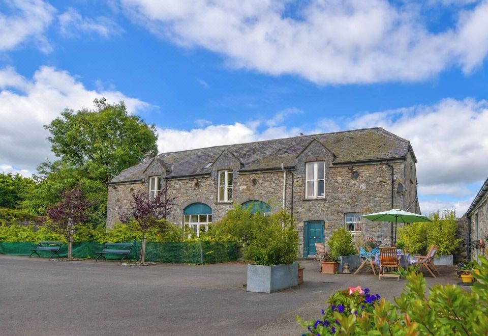 Enclosure in Calliaghstown (kells Upper By.)Enclosure · 729 yd
 Enclosure in LackmelchEnclosure · 965 yd
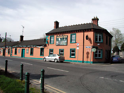 Railway Househotel · 1113 yd
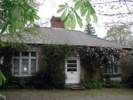 Westfield Cottagehouse · 1117 yd
 James CarolanMemorial · 1480 yd
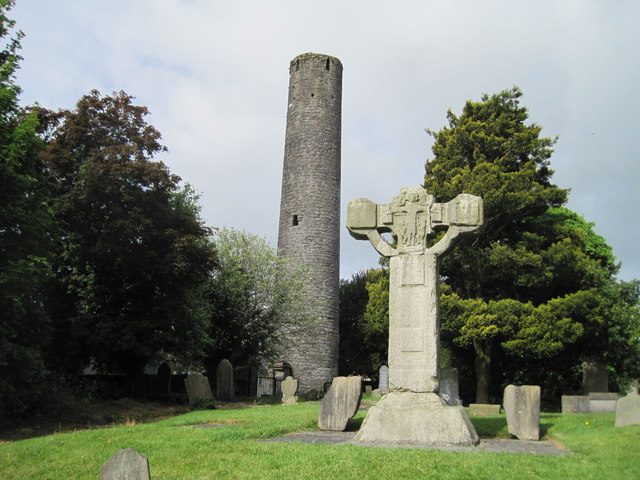 Kells Round TowerMemorial · 1647 yd
 CastleCastle, unclassified · 1.0 mi
 Castle ruinsCastle · 2.1 mi
 MountainpoleMountain / peak · 2.4 mi
 CloncatMountain / peak · 3.1 mi