
What is recorded here
Indicated is a fairy fort or earthen ringfort in Mullaun, County Roscommon, Ireland. It occupies a circular grass-covered area on the crest of a north-facing slope, measuring roughly twenty-six metres across and defined by a low scarp rather than a visible bank. A four-metre entrance opens toward the south-southeast, while another rath sits one hundred metres to the east.
On the crest of the N-facing slope of a rise. Circular grass-covered area (diam. 25.8m N-S; 24m E-W) defined by a scarp (H 0.55m at S to 0.9m at N) with some bushes. There is no visible bank or fosse, but the entrance (Wth 4m) is at SSE. Rath (RO004-022001-) is c. 100m to the E.
Compiled by: Michael Moore
Date of upload: 24 August 2010
The monument record does not grant public access. Check the route and ask the landowner before entering private land.
- What survives
- Recorded monument
Places near here
 Sweat Ho. (Disused)Sweathouse · 1712 yd
 Mine Ventilation ShaftRuins · 1.6 mi
 Derreenargan WoodWood · 1.6 mi
 Arigna Mining ExperienceMuseum · 1.6 mi
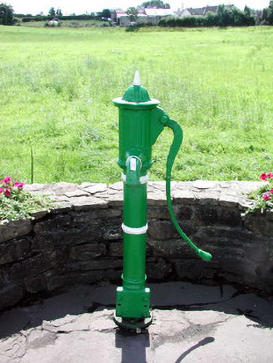 Historic buildingOfficially recorded historic building · 1.6 mi
 Turlough O'CarolanMemorial · 1.7 mi
 Holy islandIslet · 1.9 mi
 Spiranthes IslandsIslet · 1.9 mi
 Kilronan MountainMountain / peak · 2.2 mi
 Knockranny WoodsForest · 2.8 mi
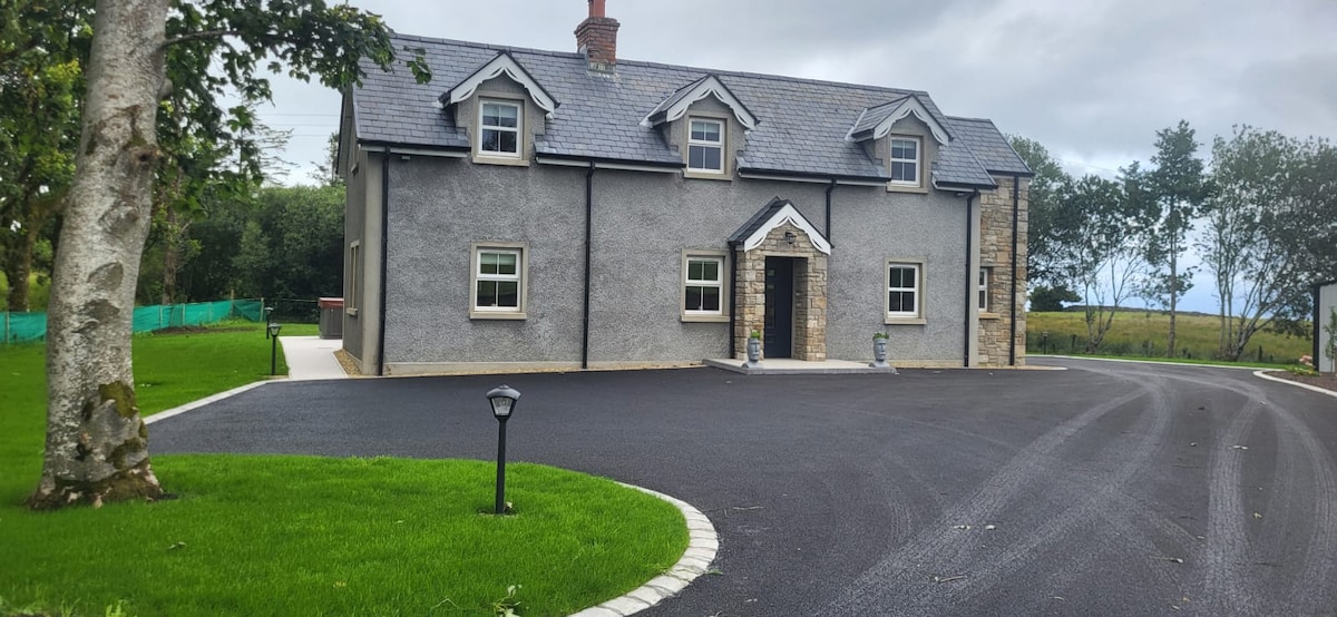 GubcormonganHeadland · 3.6 mi
Other information
Photo: Credit not shown in the picture search · Rights wording not checked; contact us if this picture should be removed