What is recorded here
Mullanmeen Upper holds a rath, an ancient earthwork where human hands shaped the land long before modern borders drew their lines. The buried bank may have marked a home, a boundary or a place of refuge, yet its exact purpose has faded into the soil. What remains is a quiet invitation to imagine the lives that moved around it, the decisions made inside its ring and the reasons it endured while other traces disappeared.
The official Northern Ireland record identifies this as RATH. Recorded period: E.CHRIST.. The official map point was placed at the centre of the recorded archaeological site from the source map reference.
The monument record does not grant public access. Check the route and ask the landowner before entering private land.
- What survives
- Recorded monument
Places near here
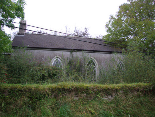 Cashelenny Church of Ireland Churchchurch/chapel · 1613 yd
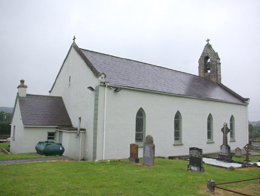 Saint Joseph's Catholic Churchchurch/chapel · 1737 yd
 RECTANGULAR ENCLOSURE in GreaghmoreRECTANGULAR ENCLOSURE · 1.7 mi
 Montiaghroe Standing StonesPublicly named standing stone · 1.8 mi
 Drumskinny Stone CircleHeritage attraction · 1.9 mi
 Grousehall ForestForest · 2.1 mi
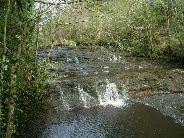 Drummoney WaterfallWaterfall · 2.3 mi
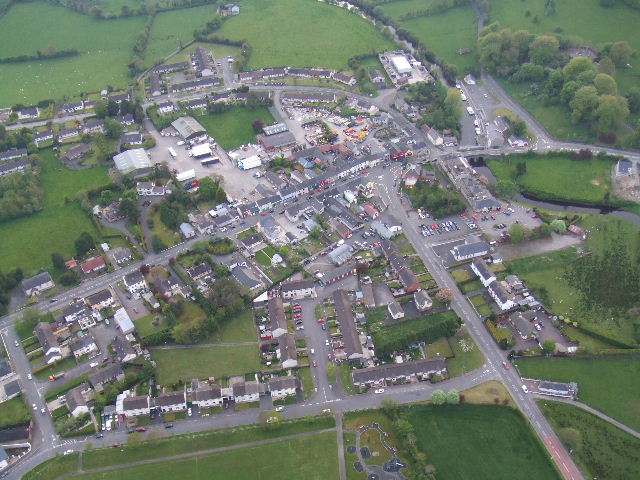 Kesh ForestForest · 2.9 mi
 Dooraa HillMountain / peak · 3.7 mi
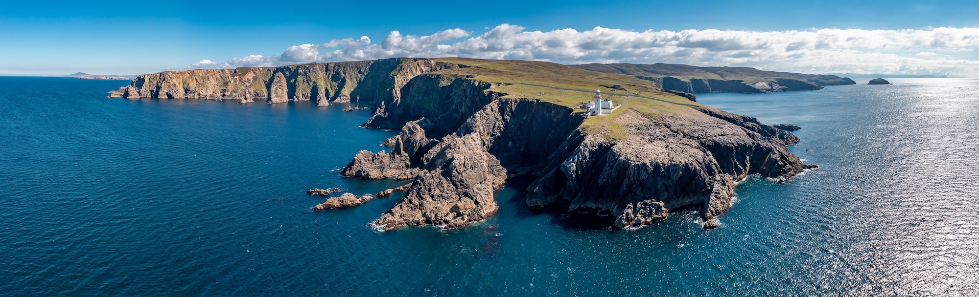 Macart IslandIslet · 4.4 mi
 Physicberry IslandIslet · 4.4 mi
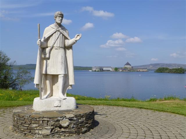 Patrick the PilgrimMemorial · 5.1 mi