What is recorded here
The official Northern Ireland record identifies this as COUNTERSCARP RATH. Recorded period: E.CHRIST.. Recorded protection: Scheduled. The official map point was placed at the centre of the recorded archaeological site from the source map reference.
The monument record does not grant public access. Check the route and ask the landowner before entering private land.
- What survives
- Recorded monument
Places near here
 Corry PointHeadland · 240 yd
 InisheeIsland · 709 yd
 Crannog IslandWood · 1052 yd
 Bullaun StoneArchaeological place · 1270 yd
 Teampull an AifrinnArchaeological place · 1418 yd
 The Market Housemarket house · 1432 yd
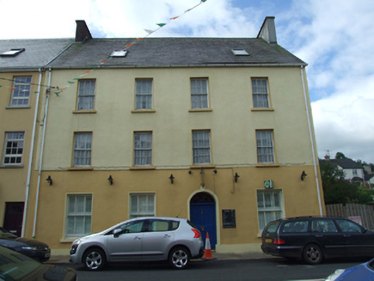 Olive Grovehouse · 1486 yd
 AughrimMountain / peak · 1685 yd
 Marlbank ViewpointViewpoint · 1749 yd
 Hanging Rock and Rossaa Forest National Nature ReserveNature reserve · 1.0 mi
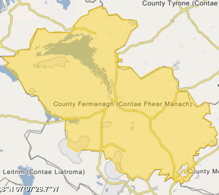 ArdreaghMountain / peak · 1.2 mi
 Hanging RockCliff · 1.3 mi