What is recorded here
In rough grassland. Outline of circular-shaped area (approx. diam. 40m) visible on Digital Globe orthophoto taken 2011-13. Depicted as a post-1700 tree-ring on the 1837 ed. OS 6-inch map. May have been a ringfort that was reused as a post-1700 tree-ring.
Compiled by: Caimin O’Brien
Date of upload: 17 June 2020
The monument record does not grant public access. Check the route and ask the landowner before entering private land.
- What survives
- Recorded monument
Places near here
 Moydrum Castlewalled garden · 717 yd
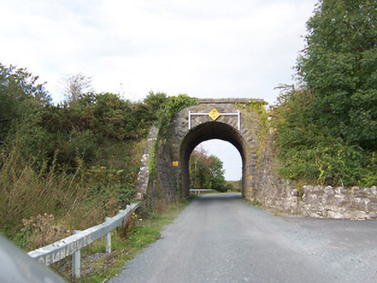 bridgebridge · 1.1 mi
 Castle O'BrienCastle · 1.1 mi
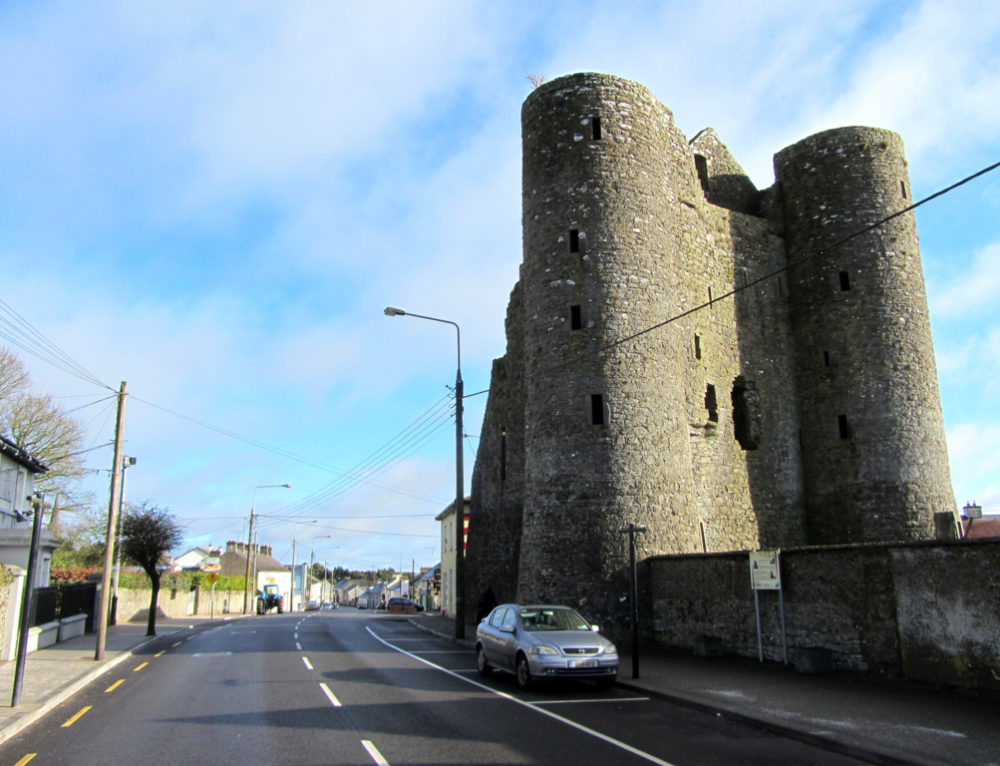 GarrycastleCastle · 1.1 mi
 CrossCross, High cross (present location) · 1.4 mi
 Site of MonasteryEcclesiastical site · 1.7 mi
 Athlone Music MuseumMuseum · 2.8 mi
 1916 Centenery CommemorationMemorial · 2.9 mi
 Wren's IslandIslet · 3.0 mi
 Athlone CastleVisitor information · 3.1 mi
 Historic Town - Athlone Castle & Church of St Peter and PaulVisitor information · 3.1 mi