What is recorded here
The official Northern Ireland record identifies this as MOUND (possibly BARROW). Recorded period: PREHISTORIC; UNCERTAIN. Recorded protection: Scheduled. The official map point was placed at the centre of the recorded archaeological site from the source map reference.
A prehistoric barrow, likely dating to the Bronze Age; its scheduled protection indicates archaeological importance, though specific details remain uncertain.
The monument record does not grant public access. Check the route and ask the landowner before entering private land.
- What survives
- Recorded monument
Places near here
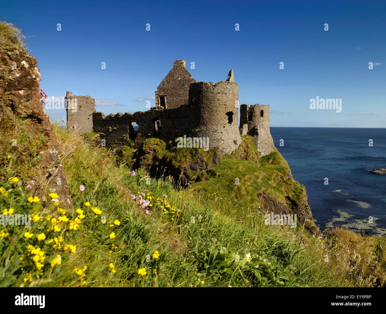 A.P. SITEA.P. SITE, 2 ENCLOSURES · 351 yd
 EARTHWORK ENCLOSURE: THE TWIN TOWERS (c.f. 015:002) in CoshkibEARTHWORK ENCLOSURE: THE TWIN TOWERS (c.f. 015:002) · 1329 yd
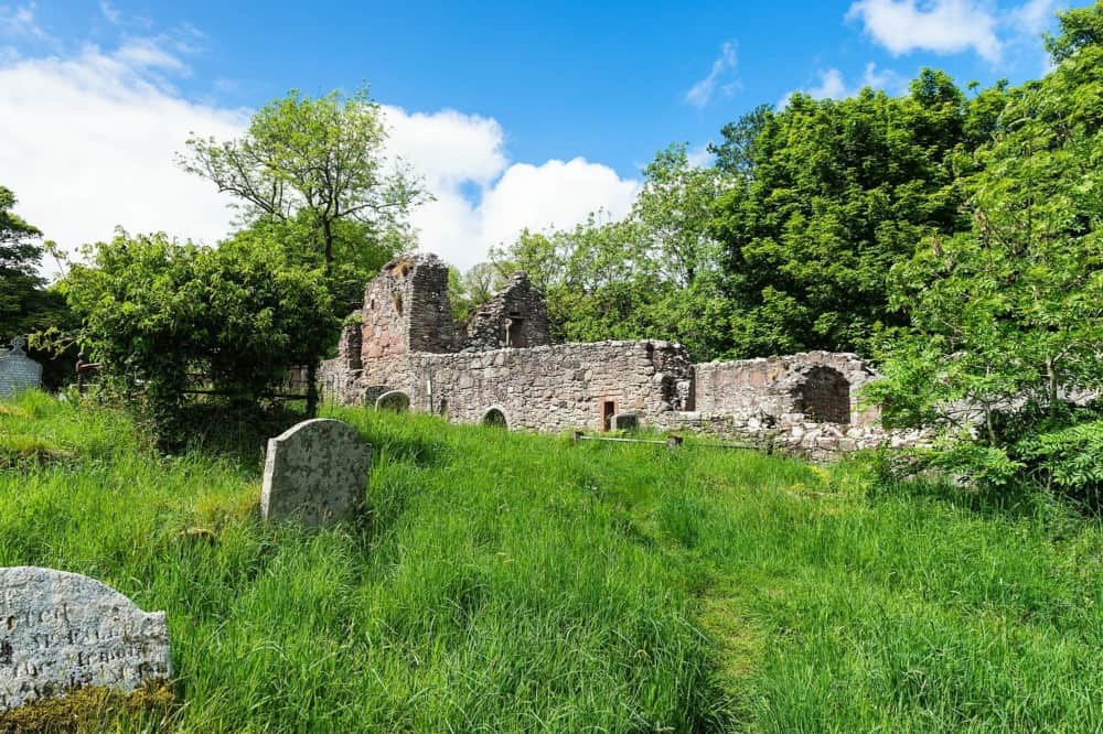 CHURCH in CushendallCHURCH · 1.2 mi
 HOUSE: OLD CASTLE in LaydHOUSE: OLD CASTLE · 1.3 mi
 Sundial HouseHouse · 1.5 mi
 The Glens of AntrimViewpoint · 1.5 mi
 Red Bay CastleArchaeological place · 2.5 mi
 LurigethanMountain / peak · 2.5 mi
 TievebulliaghMountain / peak · 2.5 mi
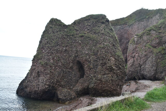 Caves of CushendunHeritage attraction · 2.6 mi
 Ballypatrick Forest Trails - 1 Cairn TrailWalking route · 4.1 mi
 Ballypatrick ForestForest · 4.8 mi