What is recorded here
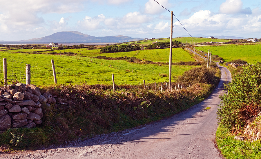
In improved pasture, located on a gentle, broadly sloping rise, which provides good views over a broad sweep of the surrounding undulating grassland, and of Nephin and the Nephin Beg mountain range which define the far horizon at SW–W.
Low, subcircular mound or platform (15.6m N–S; 15.6m E–W), with a flattened profile, defined on the perimeter by a low stony rim (Wth c. 2m), most clearly traced on the E half. At E-SE the stony rim forms a more pronounced scarp (H 0.5-0.55m; Wth slope 1.6m) reflecting a slight natural fall of ground to E. The top of the mound is flat, with stones protrude randomly from a loose soil surface on the E half. The W half is obscured by dense gorse and brambles. In parts, particularly at W and NW, boulders can be seen beneath the overgrowth. These do not appear to be embedded in the mound; some are clearly resting on the surface and probably result from field clearance. It is not possible to determine the nature of this mound. It has clearly been used in recent years as a dumping ground for field clearance debris, but at its core there may be an older mound or cairn.
Compiled by: Jane O'Shaughnessy
Date of upload: 12 May 2015
A Neolithic passage tomb; dating to the 4th–3rd millennium BCE. Its location suggests a strategic vantage point, possibly with ceremonial or communal significance in the prehistoric landscape.
The monument record does not grant public access. Check the route and ask the landowner before entering private land.
- What survives
- Recorded monument
Places near here
 IndicatedFairy fort / earthen ringfort · 551 yd
 Catholic Church of the Immaculate Heart of Marychurch/chapel · 644 yd
 Church in KilgarvanChurch · 1.1 mi
 Enclosure in CarrowcromEnclosure · 1.9 mi
 KnockasliggaunMountain / peak · 3.2 mi
 Largan HillMountain / peak · 4.0 mi
 Belleck CastleCastle, unclassified · 4.6 mi
 FloretteWreck · 4.8 mi
 CastleCastle, unclassified · 4.8 mi
 The Marshall Doran CollectionGallery · 4.9 mi
 Lough Talt TrailVisitor information · 5.0 mi
 Humbert MonumentMemorial · 5.0 mi