What is recorded here
The official Northern Ireland record identifies this as MOUND - BARROW?. Recorded period: UNCERTAIN; PREHISTORIC. Recorded protection: Scheduled. The official map point was placed at the centre of the recorded archaeological site from the source map reference.
A prehistoric barrow, likely dating to the Bronze Age; its scheduled protection indicates archaeological importance, though specific type and detailed significance remain uncertain.
The monument record does not grant public access. Check the route and ask the landowner before entering private land.
- What survives
- Recorded monument
Places near here
 A.P. SITEA.P. SITE, circular enclosure · 373 yd
 Trinity ChurchChurch · 1.0 mi
 Methodist ChurchChurch · 1.1 mi
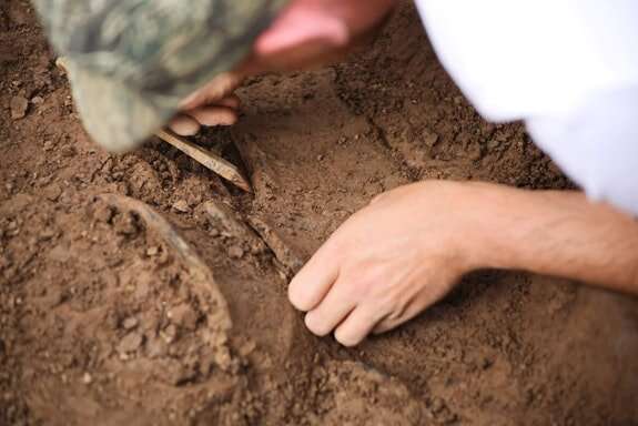 Bronze Age Enclosure in MillquarterBronze Age Enclosure · 1.2 mi
 CASTLE in Town Parks (ballymoney)CASTLE · 1.3 mi
 Ballymoney MuseumMuseum · 1.3 mi
 FORTIFIED HOUSE in ProspectFORTIFIED HOUSE · 2.3 mi
 Ballylough Big HillMountain / peak · 4.3 mi
 Long MountainMountain / peak · 4.8 mi
 The Dark HedgesViewpoint · 6.6 mi
 Causeway Coast and Glens Heritage TrustVisitor information · 8.0 mi
 Somerset ForestForest · 8.0 mi