What is recorded here
Ballyhackett Motte stands in Corkermain, County Antrim, a medievalScheduled mound where human hands first forced the earth into a defensive shape. It remains a marked archaeological site, preserving the sudden vertical ambition of a forgotten local power. The soil still holds the pressure of that choice, waiting for a boot or brush to reveal the edge of its making.
The official Northern Ireland record identifies this as MOTTE: BALLYHACKETT MOTTE. Recorded period: MEDIEVAL. Recorded protection: Scheduled. The official map point was placed at the centre of the recorded archaeological site from the source map reference.
The monument record does not grant public access. Check the route and ask the landowner before entering private land.
- What survives
- Recorded monument
Places near here
 ENCLOSURE in CorkermainENCLOSURE · 743 yd
 RECTANGULAR STONE ENCLOSURE & HOUSE SITES in Drains BogRECTANGULAR STONE ENCLOSURE & HOUSE SITES · 758 yd
 BallycoosMountain / peak · 1.2 mi
 Ballygally CastleHeritage attraction · 1.4 mi
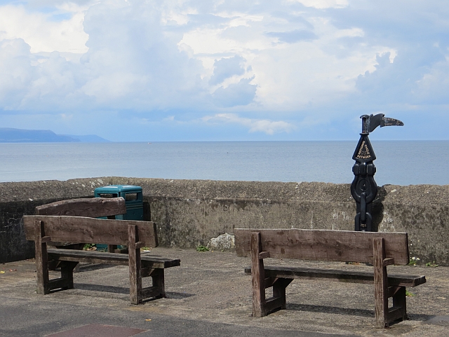 Millennium MilepostVisitor information · 1.4 mi
 Scawt HillMountain / peak · 1.5 mi
 Garden TrailWalking route · 1.9 mi
 CairncastleRuins · 1.9 mi
 Ballygalley HeadCliff · 2.0 mi
 Hillmount HouseCastle · 2.5 mi
 Blackcave TunnelTunnel · 3.1 mi
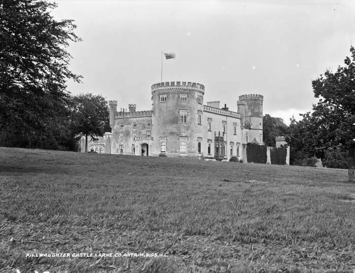 TOWER-HOUSE & BAWN: KILWAUGHTER CASTLE in DemesneTOWER-HOUSE & BAWN: KILWAUGHTER CASTLE · 3.5 mi