
What is recorded here
Monavreece still holds the broken ring of RATH, a hollow in County Fermanagh where human hands shaped earth before written memory. The name resists explanation, but the shape does not: a boundary drawn in soil, likely marking ownership, worship or warning. People may have walked that edge for generations, reading the ridge as much as reading words.
The official Northern Ireland record identifies this as RATH. Recorded period: E.CHRIST.. The official map point was placed at the centre of the recorded archaeological site from the source map reference.
The monument record does not grant public access. Check the route and ask the landowner before entering private land.
- What survives
- Recorded monument
Places near here
_-_geograph.org.uk_-_8326484.jpg?width=1280) Ederney Post OfficePost Office - Terrace · 1546 yd
Ederney Post OfficePost Office - Terrace · 1546 yd_(geograph_3906029).jpg?width=1280) The Old Market HouseHouse · 1619 yd
The Old Market HouseHouse · 1619 yd ENCLOSURE in AghaleagueENCLOSURE · 1.3 mi
 Edenaclogh WoodWood · 1.6 mi
 PLATFORM RATH in KnockroePLATFORM RATH · 1.6 mi
 Dooraa HillMountain / peak · 2.5 mi
 Drumskinny Stone CircleHeritage attraction · 3.3 mi
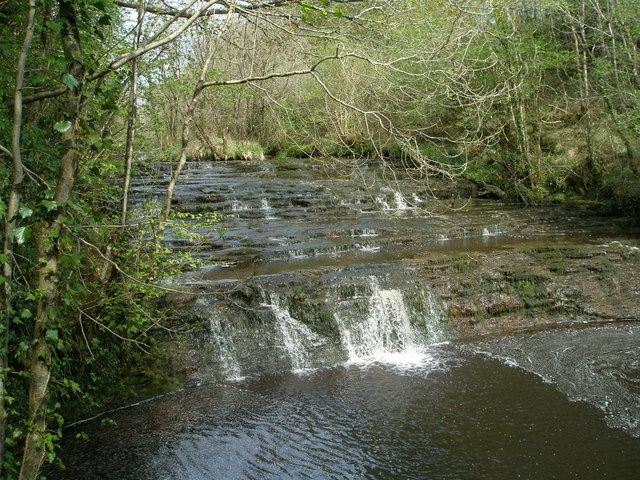 Drummoney WaterfallWaterfall · 3.8 mi
 Crevenish CastleHeritage attraction · 4.5 mi
 CASTLE & BAWN: OLD CASTLE ARCHDALE in BunaninverCASTLE & BAWN: OLD CASTLE ARCHDALE · 4.7 mi
 Old Castle ArchdaleCastle · 4.7 mi
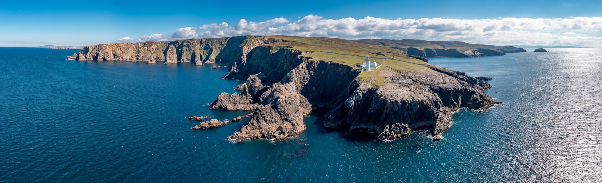 Macart IslandIslet · 4.8 mi
Other information
Photo: Kenneth Allen · Creative Commons Attribution-ShareAlike 2.0