What is recorded here
Indicated is a fairy fort on a Monaghan drumlin, its earthen bank still standing beside a field and a coniferous circle above the Inner Lough. People may have lived there, feared it or simply passed it by, but the distinction between human residence and fairy ownership has never been settled. The fort does not need a dramatic legend because it already belongs to the world where ordinary land stops explaining itself.
Located towards the top of the S-facing slope of a drumlin overlooking the Inner Lough, which is to the S. This is a circular area (diam. 35m E-W; 34m N-S) planted with coniferous trees that slopes down to the SE. It is defined by an earthen bank (at ENE: Wth of base 3.5m; Wth of top 1.2m; int. H 0.55m; ext. H 1.35m) that is incorporated into a field bank S-NNW. There is no visible fosse and the original entrance is not identified. A silage pit immediately to the SE has deposited a large bank of spoil outside the monument on the S side
The above description is derived from the published 'Archaeological Inventory of County Monaghan' (Dublin: Stationery Office, 1986). In certain instances the entries have been revised and updated in the light of recent research.
Revised by: Michael Moore
Date of revision: 19 June 2018
The monument record does not grant public access. Check the route and ask the landowner before entering private land.
- What survives
- Recorded monument
Places near here
 Holy Trinity Catholic Churchchurch/chapel · 447 yd
 IndicatedFairy fort / earthen ringfort · 651 yd
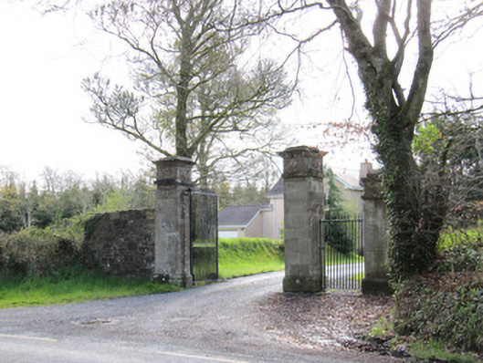 Dartrey Housegates/railings/walls · 737 yd
 Dawson MonumentMonument · 948 yd
 LisnaspeenanMountain / peak · 1333 yd
 Rabbitburrow WoodWood · 1438 yd
 Fedd HillMountain / peak · 1503 yd
 Back WoodForest · 1607 yd
 Bawn in DrumsheilBawn · 5.2 mi
 Site of Old CastleCastle, unclassified · 5.4 mi
 Senator Billy Fox 1939 - 1974Memorial · 6.8 mi
 Gull IslandIslet · 9.5 mi