What is recorded here
Only half of this circular double-ditched feature was excavated (ext. diam. c. 8.7m NW-SE), the remainder surviving outside the excavated area of Site 3 to the NE. It consists of a central pit (diam. 0.96m plus; D 0.51m) that was barely sampled and that is separated by a berm (Wth 2.3m) from an inner ditch (Wth 0.31-0.6m; D 0.03-0.25m) that encloses a circular area (diam. 5.6m). A berm (Wth 0.5-1m) separates the inner from an outer fosse (Wth 0.3-0.96m; D 0.03-0.48m), but traces of an intervening bank (H 0.17m) were recorded in the section. The inner ditch was slighter and had three fills, the lowest with some burnt bone, which was not encountered elsewhere. The three elements have radiocarbon determinations where two possible dates arise on the calibration curve, but the outside dates for the central pit and inner ditch lie between 646 and 771 cal. AD (UBA-9924; UBA-9926) while the outside dates for the outer fosse are 721 and 885 cal. AD (UBA 9925), indicating that the outer fosse is likely to be a secondary feature. (Halliday 2009, 32-4)
See the attached plans from Halliday (2009, figs 25, 11)
Compiled by: Michael Moore
Date of upload: 5 April 2023
Halliday, S. 2009 Navan Inner Relief Road Scheme, Sites 2 & 3. Licence: 06E0024. Final Excavation Report, Unpublished, Arch Tech
The monument record does not grant public access. Check the route and ask the landowner before entering private land.
- What survives
- Recorded monument
Places near here
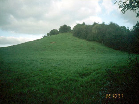 Navan MoatOfficially recorded historic building · 74 yd
 Enclosure in MoathillEnclosure · 76 yd
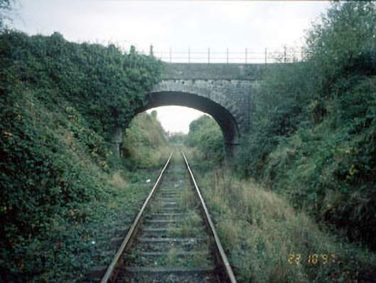 bridgebridge · 201 yd
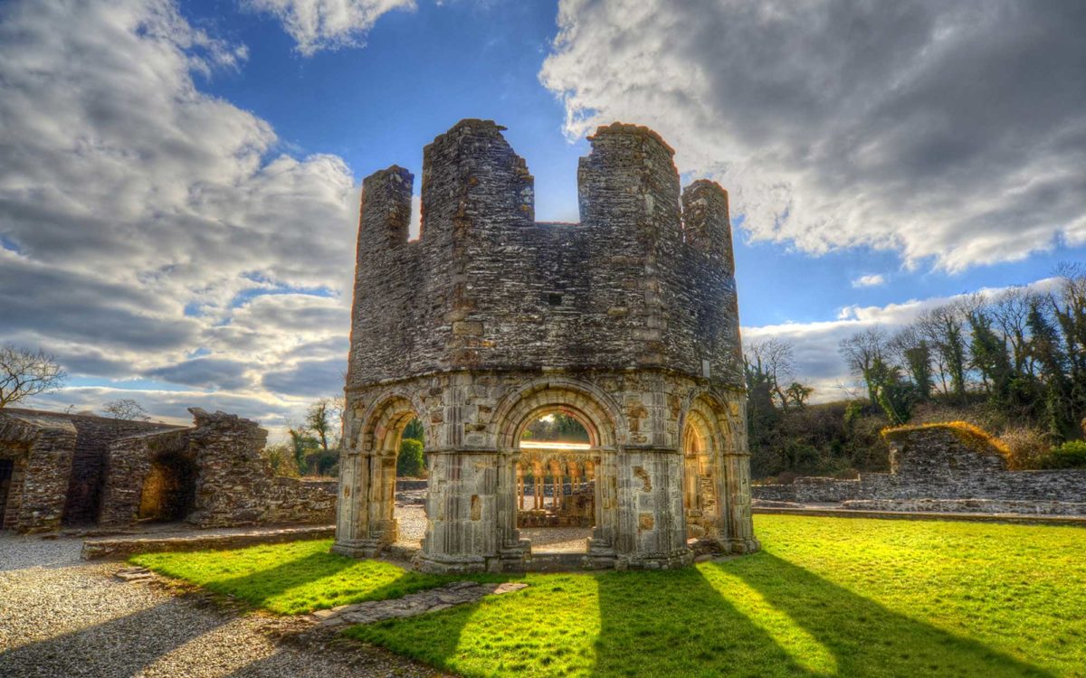 Burnt spread in Abbeyland SouthBurnt spread · 1124 yd
 The RampartWood · 1583 yd
 Nangle CourtMemorial · 1755 yd
 CastleCastle, motte · 1.0 mi
 Rathaldron Ho.Castle, tower house · 1.4 mi
 Blackcastle DemesneWood · 2.0 mi
 Donaghmore Round TowerHeritage attraction · 2.1 mi
 BohermeenMountain / peak · 3.0 mi
 Carn HillMountain / peak · 3.2 mi