What is recorded here
Grave Yard at Louth Hall holds a sub-triangular patch of land fifty metres wide, with church remains still visible at its northern edge. The earliest dated tombstone appears there in 1682 for William and Sara Orson, marking a place where ordinary people were remembered long before maps or museums arrived. The circular and angular descriptions may belong to different parts or changes of the same ground, yet the dead remain the clearest fact: a small burial place has watched Louth Hall through centuries of rain, forgetting and return.
A sub-triangular shaped graveyard (map dims. max N-S 56m; max. E-W 50m) with remains of church (LH017-028001-) in N. The earliest dated tombstone noted is 1682 and was erected for William and Sara Orson (MacIvor 1952, 259).
Compiled by: Claire Breen
Date of upload: 20 June 2012
The monument record does not grant public access. Check the route and ask the landowner before entering private land.
- What survives
- Recorded monument
Places near here
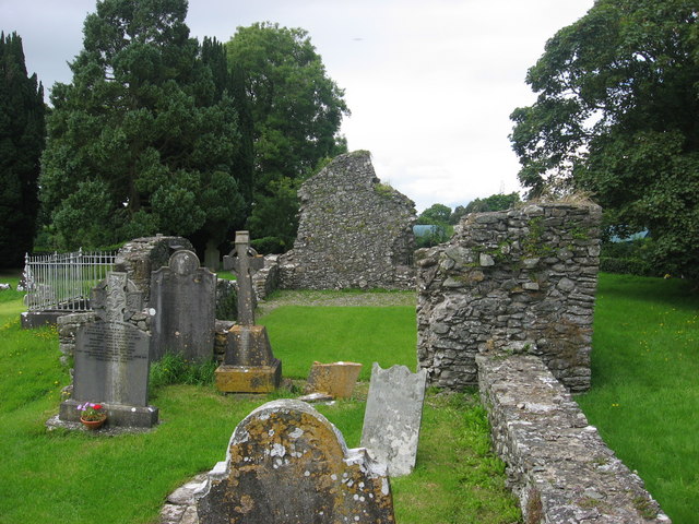 Kildemock Church (in ruins)Church · 23 yd
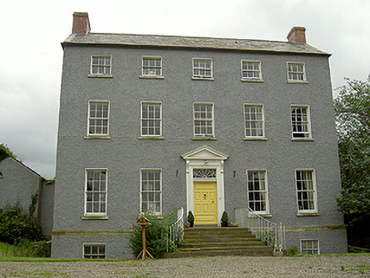 Kildemock Houserectory/glebe/vicarage/curate's house · 160 yd
 Holy well in MillockstownHoly well · 302 yd
 Garrets FortArchaeological place · 718 yd
 Dawsons MoatCastle, motte and bailey · 1.4 mi
 CastleCastle, tower house · 1.5 mi
 Graveyard in StickillinGraveyard · 1.6 mi
 European White ElmEuropean White Elm · 1.7 mi
 Sir Frederick Foster MemorialMemorial · 1.8 mi
 Valley WoodWood · 2.2 mi
 Mount OrielMountain / peak · 3.1 mi
 Black HillMountain / peak · 4.2 mi