What is recorded here
That is the smallest recorded church marker in the database, a pale disc no wider than a dinner plate, yet it still stands outside Millockstown. Size does not explain presence. The church gave the stone its address, the stone gives the church one visible mark, and that mutual recognition may be enough.
Cross-slab (diam. 0.17m; D 0.1m) with a simple incised design and a central perforation in its base. Located on the ground outside the SW angle of the nave of Millockstown church (LH017-028001-).
Compiled by: Claire Breen
Date of upload: 20 June 2012
Likely dating to the early Christian period (5th–11th century), the cross-slab may have had a liturgical or commemorative function, possibly marking a burial or serving as a waymarker. The central perforation may have allowed it to be suspended or used in ritual contexts.
The monument record does not grant public access. Check the route and ask the landowner before entering private land.
- What survives
- Recorded monument
Places near here
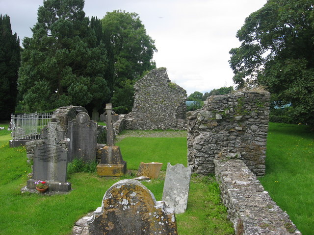 Kildemock Church (in ruins)Church · 17 yd
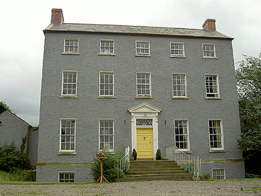 Kildemock Houserectory/glebe/vicarage/curate's house · 131 yd
 Holy well in MillockstownHoly well · 313 yd
 Garrets FortArchaeological place · 729 yd
 Dawsons MoatCastle, motte and bailey · 1.4 mi
 CastleCastle, tower house · 1.5 mi
 Graveyard in StickillinGraveyard · 1.6 mi
 European White ElmEuropean White Elm · 1.7 mi
 Sir Frederick Foster MemorialMemorial · 1.8 mi
 Valley WoodWood · 2.2 mi
 Mount OrielMountain / peak · 3.2 mi
 Black HillMountain / peak · 4.2 mi