What is recorded here
Enclosure in Middlequarter (Newcastle parish) is an enclosure in Middlequarter (Newcastle parish), County Tipperary, Ireland. It is a 40.5 by 42 metre rectangular enclosure on a gradual east-facing slope of Knocknagearagh in the Knockmealdown mountains, defined by a sandstone rubble wall 2.2 to 2.6 metres wide with an internal height of 0.3 to 0.4 metres and an external height of 0.45 to 0.74 metres. The interior slopes east with the natural ground, a possible entrance is at the north end of the east side, and the north wall continues eastward 8 metres beyond the enclosure, possibly defining that entrance.
On a gradual E-facing slope of Knocknagearagh in the Knockmealdown mountains, in upland terrain. This is part of a complex of enclosures (TS091-009001-; TS091-009007-; TS091-009009-; TS091-009012-), hut sites (TS091-009003-; TS091-009004-; TS091-009006-; TS091-009010-; TS091-009011-; TS091-009015-), a possible ring-cairn (TS091-009002-), clearance cairns (TS091-009005-) and a field system (TS091-009013-) identified by Diarmuid O'Keeffe, 1996. A rectangular enclosure (diam. 40.5m NE-SW; 42m NW-SE) defined by a sandstone rubble wall (Wth 2.2-2.6m; int. H 0.3-0.4m; ext. H 0.45-0.74m), largely overgrown with grass and heather. The interior slopes E with the natural slope. There is a possible entrance at the N end of the E side (Wth 4.15m). The N wall continues eastward 8m beyond the enclosure, possibly defining the entrance.
Compiled by: Jean Farrelly
Date of upload: 03 March 2014
The monument record does not grant public access. Check the route and ask the landowner before entering private land.
- What survives
- Recorded monument
Places near here
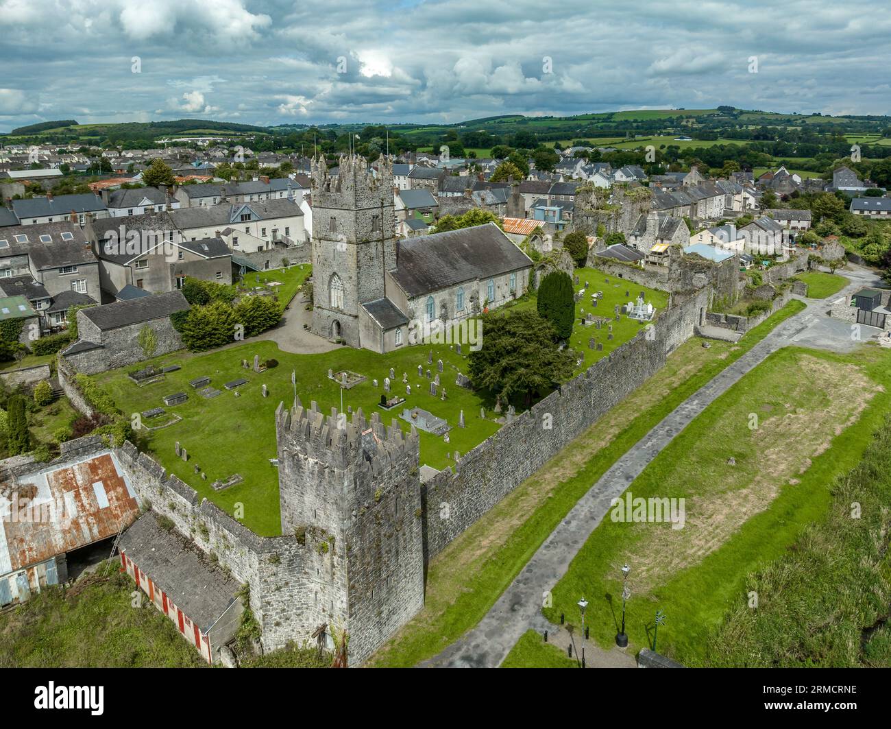 Hut site in Clashganny WestHut site · 671 yd
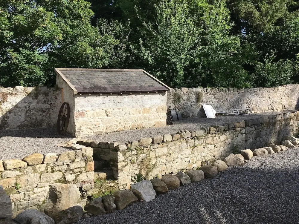 Enclosure in Clashganny WestEnclosure · 699 yd
 Church in Clashganny EastChurch · 1.8 mi
 Catholic Church of Our Lady of the Assumptionchurch/chapel · 1.8 mi
 IndicatedBawn · 2.0 mi
 Curraghcloney CastleCastle · 2.0 mi
 KnocknanaskMountain / peak · 2.3 mi
 KnockmealMountain / peak · 2.3 mi
 European long distance path E8 - part IrelandWalking route · 3.5 mi
 Kildanogue wildfowl sanctuary and nature reserveNature reserve · 4.1 mi
 Glenshelane WoodsForest · 4.8 mi
 The VeeViewpoint · 5.7 mi