What is recorded here
Situated on natural rise of rush-covered rough pasture on N facing slope overlooking Owenduff River. Incorporated at junction of two boundaries within ancient field system (MA010-037002) which includes many upright and set stones. It is very probable that the field system post-dates the tomb and it seems likely that it may have been robbed to make the boundaries. Remains consist of the last vestiges of a megalithic tomb comprising two possible sidestones with a displaced lintel between them at N and two septal-like stones set transversely to them at S with possible jambstone beside E septal. Uprights to NE and SE of tomb structure visible in bog might be court-stones. Single cup-mark visible on upper surface of lintel.
Compiled by: Eamon Cody, Paul Walsh
Date of upload: 13 July 2011
Megalithic tomb in An Tinbhear is a portal dolmen dating to the Neolithic period. Its location within an ancient field system suggests it may have had a ritual or territorial significance in the landscape.
The monument record does not grant public access. Check the route and ask the landowner before entering private land.
- What survives
- Recorded monument
Places near here
 Saint Patrick's Catholic Churchchurch/chapel · 113 yd
 Site of CastleCastle, unclassified · 534 yd
 Children's Burial GroundArchaeological place · 678 yd
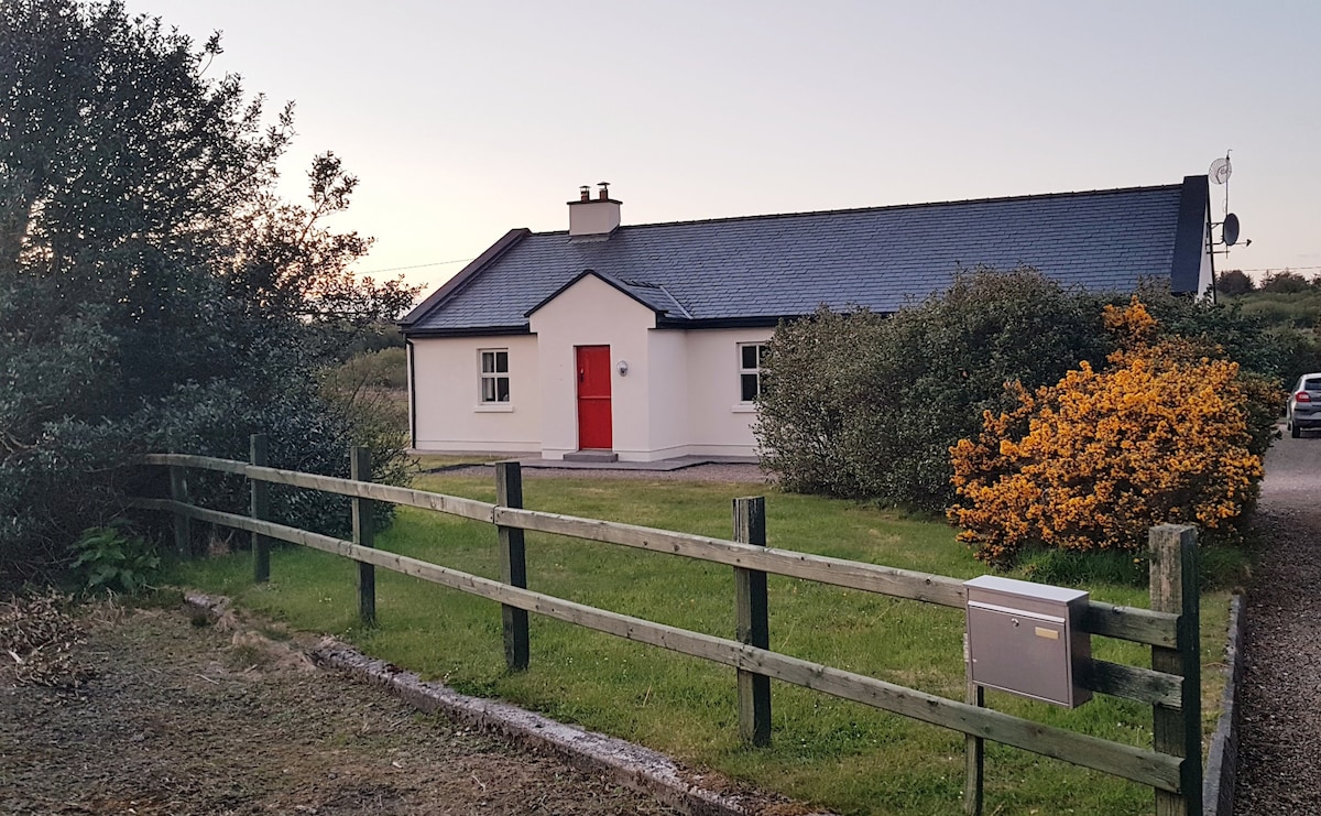 Enclosure in An TinbhearEnclosure · 770 yd
 Site of Myles Barretts CastleCastle, unclassified · 1.4 mi
 Broadhaven LighthouseLighthouse · 1.6 mi
 Barr na CoilleadhMountain / peak · 2.1 mi
 Portnacully BeachBeach / strand · 2.4 mi
 Inis DoireIslet · 2.7 mi
 Glengad BeachBeach / strand · 3.1 mi
 Cuan an InbhirBay · 3.2 mi
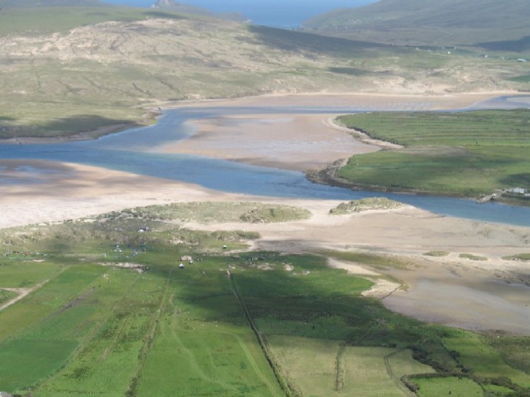 Sruth Fada ConBay · 3.4 mi