What is recorded here
Promontory fort stands on a triangular west-facing headland in County Kerry, where two straight banks and a cutting fence the land from the sea. Five hollow enclosures line the bank, perhaps holding kelp for burning, perhaps forming house foundations for people who watched the water. A small islet nearby may have extended the settlement, while the main interior remains bare except for faint northern traces. The fort still belongs to the coast, preserving the shape of a life that depended on tide, defence and patience.
Promontory fort described in 2002 as follows; ‘A triangular west-facing headland shows evidence of having been defended by two straight banks and intervening fosse. Five large subrectangular enclosures with hollow interiors along the bank may be associated with kelp storage and burning, although quarrying is also possible. It is also possible that they may be part of the defences of the headland, stone within the perimeter of the enclosures and their regularity suggest that they may be house-site foundations. A small offshore islet (Pierce’s Island) shows evidence of two further possible house foundations. Besides the faint traces of a perimeter bank along the northern cliff edge, the interior of featureless. The sea is accessible with great difficulty from within. Earthworks in the adjacent field may be associated with the monument. The area is one of flat fertile pasture and a Land Commission field boundary runs along the shoreline, cutting off the headland’ (Casey 2002, 62, no. BB).
The monument record does not grant public access. Check the route and ask the landowner before entering private land.
- What survives
- Recorded monument
Places near here
 Pierce's IslandIslet · 100 yd
 MineMine, lead · 304 yd
 Enclosure in MeenogahaneEnclosure · 1559 yd
 Man-made underground passage in Ardagh (clanmaurice By.)Man-made underground passage · 1731 yd
 CastleCastle, unclassified · 1.0 mi
 Inshaboy PointHeadland · 1.8 mi
 Clashmealcon CavesCave · 2.0 mi
 Castle Shannon (in ruins)Castle, unclassified · 2.3 mi
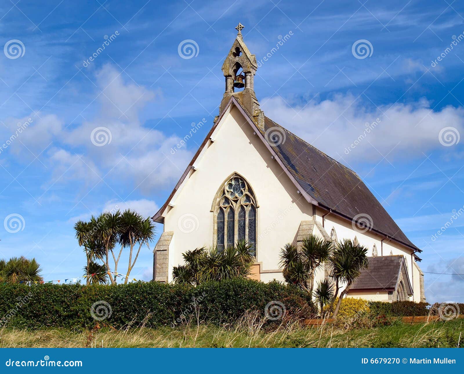 Church in Kilmore (clanmaurice By.)Church · 2.8 mi
 Long StrandBeach / strand · 4.1 mi
 PulleenIslet · 4.8 mi
 Men's BeachBeach / strand · 4.9 mi