
What is recorded here
Shrule Castle rose beside the Black River around 1238 when Richard Mor de Burgh built a defensive tower for Connacht. Its thick walls later witnessed the 1570 battle where Fitton’s forces broke against the Burkes, and the 1642 massacre where Edmund Burke’s men killed the refugees they were ordered to protect. The castle remains a stark monument to the violent collisions of loyalty, ambition and fear that shaped western Ireland.
Shrule Castle is recorded as a castle in County Mayo. Its open map record supplies this location and any linked names or public references.
Shrule Castle was built in the 13th century by the MacWilliam Íochtar family, lords of Hy-Many. It is remembered as a significant medieval stronghold in west Connacht and is associated with the long-standing power struggles between the Anglo-Normans and Gaelic Irish in the region.
Places near here
 Shrule Castle in ruinsCastle, hall-house · 4 yd
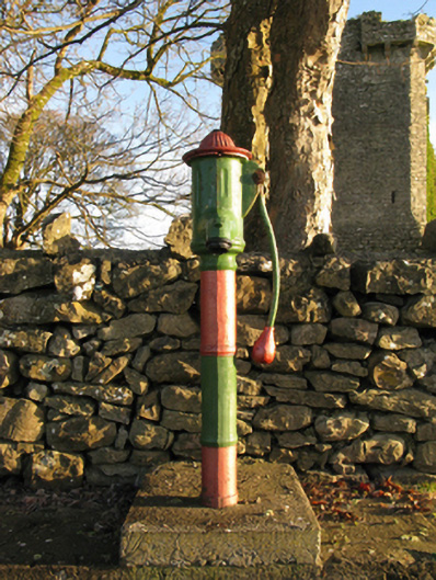 water pumpwater pump · 39 yd
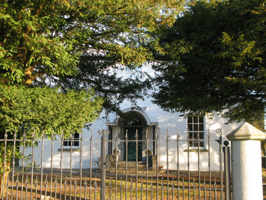 Shrule Housefarm house · 54 yd
 Shrule AbbeyArchaeological place · 353 yd
 Enclosure in ShruleEnclosure · 461 yd
 Cregg PlantationForest · 1.1 mi
 Pesooge PlantationForest · 1.2 mi
 Kinlough CastleCastle · 1.9 mi
 Ross Errilly FriaryHeritage attraction · 3.3 mi
 Otter IslandIslet · 6.5 mi
 Inis Mhic an TrírIsland · 6.9 mi
 School of FalconryHeritage attraction · 8.6 mi
Other information
Photo: Mike Searle · CC BY-SA 2.0