What is recorded here
Sandland Fort is a circular earthen enclosure in a Mayo pasture, its slight grassy swelling hiding a fifth-to-twelfth-century rath that still bears a named identity on modern maps. The eastern gap marks the likely entrance, while a shallow western depression hints at a buried souterrain where people may have stored grain or waited out storms. The interior scarp divides the space like a forgotten room, suggesting the fort was lived in, altered and remembered long after its builders stopped shaping the bank.
Sandland Fort is recorded as a archaeological place in County Mayo. Its open map record supplies this location and any linked names or public references.
Places near here
 Sandland FortFairy fort / earthen ringfort · 1 yd
 RathparkFairy fort / ringfort · 803 yd
 Church in RuinsChurch · 1016 yd
 Ballysakeery CastleCastle, unclassified · 1020 yd
 Gortabradawn PointHeadland · 1213 yd
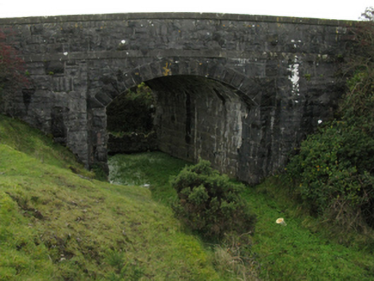 bridgebridge · 1360 yd
 CastleCastle, unclassified · 1.0 mi
 Goose IslandIslet · 1.1 mi
 Rinnachurry PointHeadland · 1.1 mi
 Moyne AbbeyHeritage attraction · 1.2 mi
 Rosserk AbbeyHeritage attraction · 1.4 mi
 Horse IslandIslet · 1.4 mi