What is recorded here
The official Northern Ireland record identifies this as MASS ROCK. Recorded period: C18TH. The official map point was placed at the centre of the recorded archaeological site from the source map reference.
The monument record does not grant public access. Check the route and ask the landowner before entering private land.
- What survives
- Recorded monument
Places near here
 CASHEL?: OLD CASTLE (unlocated) in GlasdrummanCASHEL?: OLD CASTLE (unlocated) · 1091 yd
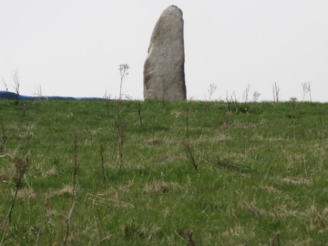 LongstoneArchaeological place · 1358 yd
 Mullartown HouseHotel · 1655 yd
 Annalong Coastal PathWalking route · 1.2 mi
 Mourne Coastal Route: Annalong - A Granite PortVisitor information · 1.2 mi
 ENCLOSURE in Ballyveagh MoreENCLOSURE · 1.2 mi
 Annalong Corn MillMill · 1.2 mi
 Round SeefinViewpoint · 1.3 mi
 Annalong WoodForest · 1.7 mi
 Spences MountainMountain / peak · 2.4 mi
 Slieve Binnian East TopMountain / peak · 2.5 mi
 Black RockHeritage attraction · 2.5 mi