What is recorded here
'This hut site is identified as a small square setting of stones with internal dimensions of 1.6m N-S and 2m E-W. The enclosing wall is c.50cm wide, is comprised of both sandstoen and limestone and survives t between 50cm and 80cm in height, except at the east, where the entrance was probably located.'
The above description is derived from R. Sherlock, Northwest Co. Cavan Survey. An archaeological survey of northwest Cavan: the other Burren (2007), p. 146.
Date of upload: 15 November 2012
The monument record does not grant public access. Check the route and ask the landowner before entering private land.
- What survives
- Recorded monument
Places near here
 Rocking StoneArchaeological place · 271 yd
 Druidical AltarArchaeological place · 679 yd
 Cavan Burren ParkForest · 862 yd
 Dolines/SinkholesCave · 975 yd
 Boulder GraveyardArchaeological place · 1012 yd
 Cavan BurrenHeritage attraction · 1051 yd
 BurrenMountain / peak · 1127 yd
 Legnaveagh SinkholeCave · 1209 yd
 CullentraghMountain / peak · 1.0 mi
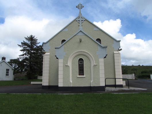 St Felim’s Roman Catholic Churchchurch/chapel · 1.0 mi
 Marlbank ViewpointViewpoint · 1.4 mi
 SETTLEMENT: STONE ENCLOSURES [FIELD SYSTEM] AND HOUSE PLATFORMS in ClyhannaghSETTLEMENT: STONE ENCLOSURES [FIELD SYSTEM] AND HOUSE PLATFORMS · 2.0 mi