What is recorded here
An L-shaped depression, .65m deep and 2.15m wide, occupies the NW quadrant; it extends from NNW to SSE for 5m, then turns at right angles towards NE for 4.8m. It may indicate the location of a dug-out Man-made underground passage (KE097-006001-).
The above description is derived from A. O'Sullivan and J. Sheehan (compilers), 'The Iveragh peninsula: an archaeological survey of South Kerry'. Cork University Press (1996), no. 485. In certain instances the entries have been revised and updated in the light of recent research.
Date of upload: 28 July 2013
The monument record does not grant public access. Check the route and ask the landowner before entering private land.
- What survives
- Recorded monument
Places near here
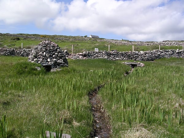 St. Michaels WellHoly well · 1259 yd
 Trá an GhleanntáinBeach / strand · 1558 yd
 Cloch Oghaim/Ogham Stone.Archaeological place · 1671 yd
 Reglaish Church (in Ruins)Church · 1.1 mi
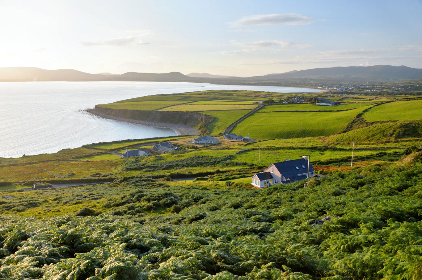 Trá Bhaile an SceilgeBeach / strand · 1.1 mi
 Ballinskelligs Castle (in Ruins)Castle, tower house · 1.2 mi
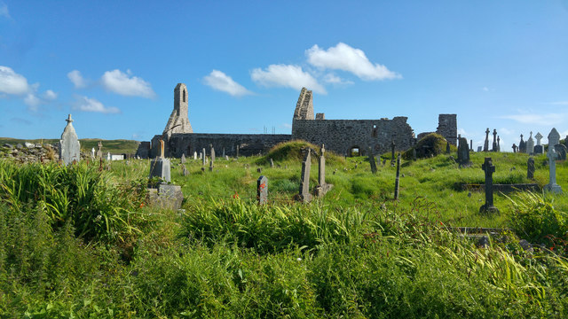 Ballinskelligs PrioryVisitor information · 1.5 mi
 Ballinskelligs Abbey (in ruins)Religious house, Augustinian canons · 1.6 mi
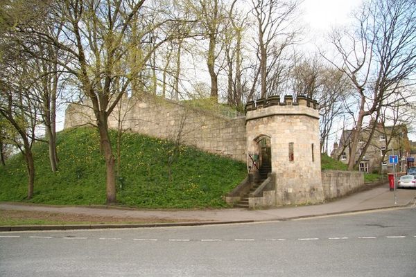 Castle (in Ruins)Castle, tower house · 1.6 mi
 KillurlyMountain / peak · 1.7 mi
 Coastguard Station RuinsRuins · 1.9 mi
 Oileán na gCapallIslet · 2.0 mi