What is recorded here
Situated on a fairly level landscape. A beehive chamber (diam. 2.9m; H 2m) and a short section of a lintelled passage (Wth 0.6m; H 1m; L 2m plus) extending to the E came to light during ploughing in April 1952 and it was recorded by P. Hartnett (NMI file). An air-vent (dims 0.25m x 0.25m) extended from the chamber roof to the SW (L 4m), the far end of which was excavated. The passage was destroyed beyond the lintelled section but the closing stone (dims 1.3m x 1m; T 0.4m) of another chamber was uncovered from the surface c. 4m E of the explored chamber.
The above description is derived from the published 'Archaeological Inventory of County Meath' (Dublin: Stationery Office, 1987). In certain instances the entries have been revised and updated in the light of recent research.
Compiled by: Michael Moore
Date of revision: 16 April 2019
This remains an important historical record, but the official description says the monument is no longer visible or has been destroyed. The monument record does not grant public access. Check the route and ask the landowner before entering private land.
- What survives
- No visible remains or recorded as destroyed
Places near here
 Church (in Ruins)Church · 1150 yd
 Cross in Milltown (lune By.)Cross · 1182 yd
 Font in CortownFont · 1.1 mi
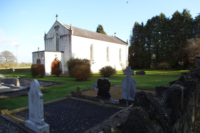 Saint Laurence's Catholic Churchchurch/chapel · 1.7 mi
 CastleCastle, motte · 1.7 mi
 Irishtown WoodWood · 1.9 mi
 Bally GroveWood · 1.9 mi
 FarmaphobiaHeritage attraction · 2.0 mi
 Causey FarmHeritage attraction · 2.0 mi
 JamestownMountain / peak · 2.1 mi
 BallybegMountain / peak · 2.3 mi
 Font (present location) in Milltown (kells By.)Font (present location) · 1.3 mi