What is recorded here
Four holy wells still give water beside the ruined convent and graveyard, feeding a place where mercy was practiced across centuries rather than spoken about. The bawn and church marks survive in County Armagh, carrying layers from the medieval period to modern times. People may have drawn water for sickness, buried their dead beneath open sky, and left the convent empty when fashion changed. What is certain is that the site kept being used, and the wells never stopped answering.
The official Northern Ireland record identifies this as MULTIPERIOD CHURCH & GRAVEYARD, BAWN, 4 HOLY WELLS & CONVENT: MAGHERIEHELIN, YLLAGH, CONVENT OF MERCY. Recorded period: UNCERTAIN; MODERN; MED/L.MED; POST-MED. The official map point was placed at the centre of the recorded archaeological site from the source map reference.
The monument record does not grant public access. Check the route and ask the landowner before entering private land.
- What survives
- Recorded monument
Places near here
 Christ ChurchChurch · 304 yd
 Church of SS Peter and PaulChurch · 425 yd
 BessbrookVisitor information · 716 yd
 War MemorialMonument · 737 yd
 ENCLOSURE in CarrickcroppanENCLOSURE · 1.2 mi
 ENCLOSURE in Carrickcloghan; EshwaryENCLOSURE · 1.2 mi
 Camlough MountainMountain / peak · 2.1 mi
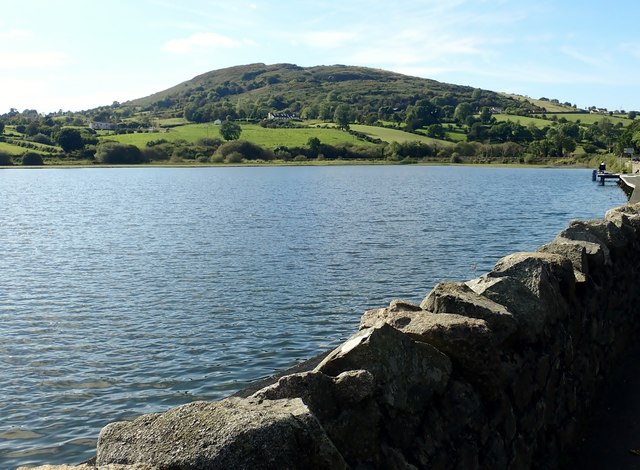 Sturgan MountainMountain / peak · 2.4 mi
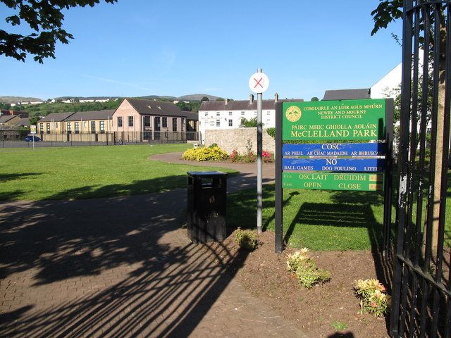 Edward Street Car ParkVisitor information · 2.9 mi
 1971 Newry killingsmassacre · 3.1 mi
 Newry CenotaphMemorial · 3.1 mi
 Bagenal's CastleCastle · 3.2 mi