What is recorded here
Macosquin and Camus-Juxta-Bann mark a layered settlement where Cistercian monks, medieval neighbours and plantation newcomers all claimed the same soil. The abbey and glebe suggest prayer, labour and ownership tangled together across centuries. What remains is not a single event but a long argument about who belongs nowhere near the border.
The official Northern Ireland record identifies this as HISTORIC SETTLEMENT - MONASTIC SITE, CISTERCIAN ABBEY, MEDIEVAL & PLANTATION SETTLEMENT: MACOSQUIN, CAMUS-JUXTA-BANN or CAMUS MACOSQUIN GLEBE. Recorded period: MODERN; POST-MED; MED/L.MED; E.CHRIST.. The official map point was placed at the centre of the recorded archaeological site from the source map reference.
Cistercian abbey and medieval plantation settlement; 12th to 17th century. Significant as a religious and agricultural centre reflecting monastic and later colonial land use in Ulster.
The monument record does not grant public access. Check the route and ask the landowner before entering private land.
- What survives
- Recorded monument
Places near here
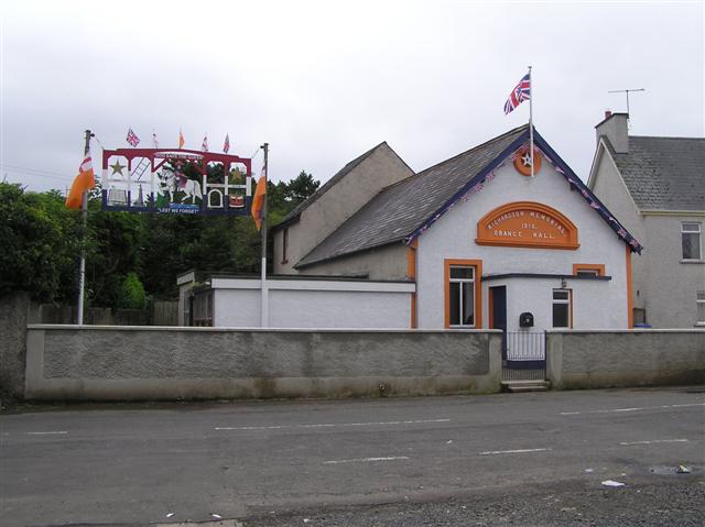 ENCLOSURE in Ardvarness, MacosquinENCLOSURE · 236 yd
 ENCLOSURE in Dunderg, MacosquinENCLOSURE · 771 yd
 Somerset ForestForest · 1.7 mi
 Terrace Row Presbyterian ChurchChurch · 2.7 mi
 Millennium MilepostVisitor information · 2.7 mi
 Bann BridgeBridge · 2.7 mi
 Castleroe WoodWood · 2.8 mi
 Quilley Picnic AreaPicnic place · 3.1 mi
 CASTLE & SETTLEMENT SITE (unlocated) in GlebeCASTLE & SETTLEMENT SITE (unlocated) · 4.6 mi
 Hezlett HouseHeritage attraction · 5.0 mi
 Portstewart StrandBeach / strand · 5.2 mi
 Castlerock BeachBeach / strand · 5.6 mi