
What is recorded here
Indicated is a stone ringfort on a north-facing Clare slope, marked on the 1920 map and set beside an old ravine. Its drystone wall still stands about a metre thick, with a shorter inner wall in the south-west and loose stone around the base. A wedge tomb lies nearby, suggesting the place has watched over death, birth and ordinary life for a very long time.
At the top of a N-facing slope within a large field system (CL009-001001-), in an area of rock outcrop and thin grass cover. There is an E–W ravine c. 50m to the S. Indicated on the 1920 ed. of the OS 6-inch map. A subcircular enclosure (ext. dims. 19m N-S; 16m E-W) defined by a drystone wall (Wth c. 1m; int. H 0.3-0.8m; ext. H 1.1-1.5m). Another drystone wall (L 7.3m) is visible in the SW quadrant of the interior. A spread of loose stone (Wth 3-3.3m; ext. H 0.4m) visible around the base of the enclosure wall suggests that it may have been built on the line of a cashel wall. Inside the wall the stone spread is flush with the interior; externally no cashel wall-facing is visible its base. There is a wedge tomb (CL009-001026-) c. 15m to the NNW.
Compiled by: Conn Herriott and Olive Alcock
Date of upload: 12 October 2021
The monument record does not grant public access. Check the route and ask the landowner before entering private land.
- What survives
- Recorded monument
Places near here
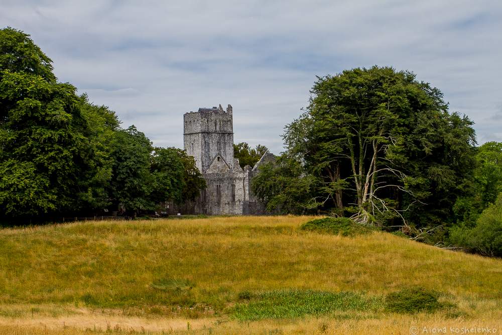 Enclosure in KilcorneyEnclosure · 755 yd
 Enclosure in Kilcorney,lissylisheenEnclosure · 881 yd
 Cave of the Wild HorsesCave · 1236 yd
 Site of Ballymurphy CastleCastle, tower house · 1505 yd
 Site of Binroe CastleCastle, unclassified · 1689 yd
 Cahermacnaghten CashelHeritage attraction · 1.1 mi
 CaherconnellHeritage attraction · 1.4 mi
 Noughaval Crossmonument · 1.5 mi
 Saint Mochua's Catholic Churchchurch/chapel · 1.5 mi
 Poulnabrone - Burren GeositeVisitor information · 1.6 mi
 The Portal TombVisitor information · 1.7 mi
 Cullaun 5 (C5b)Cave · 1.9 mi
Other information
Photo: Credit not shown in the picture search · Rights wording not checked; contact us if this picture should be removed