What is recorded here
Kenmare Bay watches the fort, not the other way around. A thirty-two-metre circle of earth rises through pasture, its broken bank giving way to trees and a straight fence that cuts across the middle like a forgotten argument. The causeway at east-south-east still points toward the land, as if entry remained negotiable. Whatever lived inside has stopped answering, but the shape has not forgotten the difference between guest and owner.
In pasture, on a rise overlooking Kenmare Bay to the S. A raised circular area (diam. 32m) defined by an earthen bank (Wth 6m; int. H 0.8m; ext. H 4.2m) of varying height and with numerous gaps. An external fosse is evident all round but is best preserved along the N arc. There is a probable causeway entrance at ESE. A N-S wire fence bisects the interior. Trees grow on the bank.
The above description is derived from the published 'Archaeological Inventory of County Kerry. Volume I: South-West Kerry' (Dublin: Stationery Office, 2009). In certain instances the entries have been revised and updated in the light of recent research.
Date of upload: 30 May 2011
The monument record does not grant public access. Check the route and ask the landowner before entering private land.
- What survives
- Recorded monument
Places near here
 IndicatedFairy fort / earthen ringfort · 158 yd
 Man-made underground passage in KillowenMan-made underground passage · 683 yd
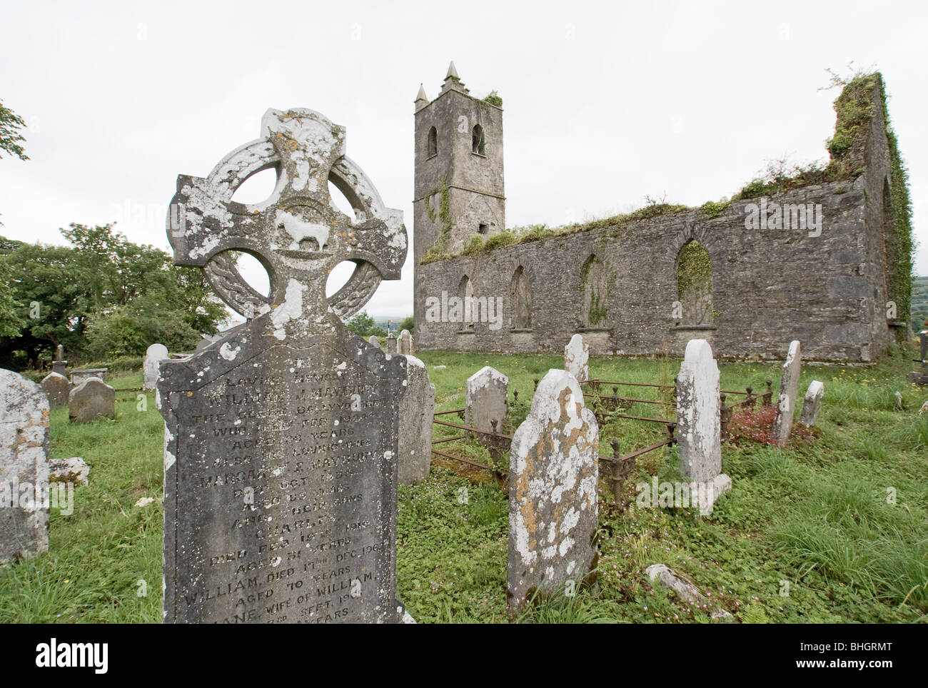
 Killowen ChurchRuins · 982 yd
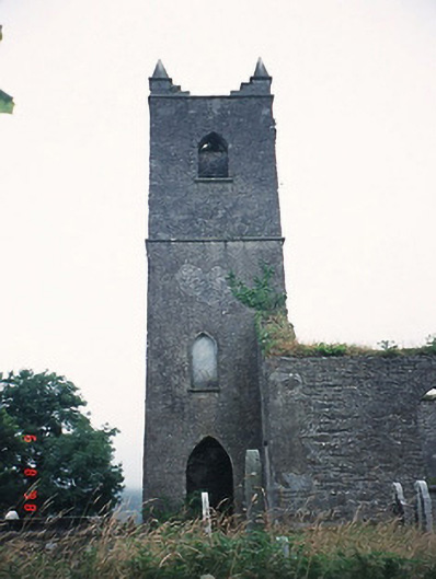 Kenmare Churchchurch/chapel · 982 yd
 StrickeenMountain / peak · 1396 yd
 The Lodge WoodWood · 1401 yd
 Monterey CypressMonterey Cypress · 1660 yd
 Kenmare Tourist Information OfficeVisitor information · 1662 yd
 Kenmare Heritage Town - Main StreetMemorial · 1688 yd
 Mill Cove Gallery / John Brennan StudioGallery · 1706 yd
 Cleo GalleryGallery · 1.1 mi
 CastleCastle, unclassified · 1.2 mi