What is recorded here
No visible trace remains in the open field, yet the name still points to a bounded place where someone drew a line around the world and called the inside theirs. Rath is not a claim of grandeur. It is a marker of ownership, exclusion, and the human need to make the unknown into a room.
The official Northern Ireland record identifies this as RATH. Recorded period: E.CHRIST.. The official map point was placed at the centre of the recorded archaeological site from the source map reference.
The monument record does not grant public access. Check the route and ask the landowner before entering private land.
- What survives
- Recorded monument
Places near here
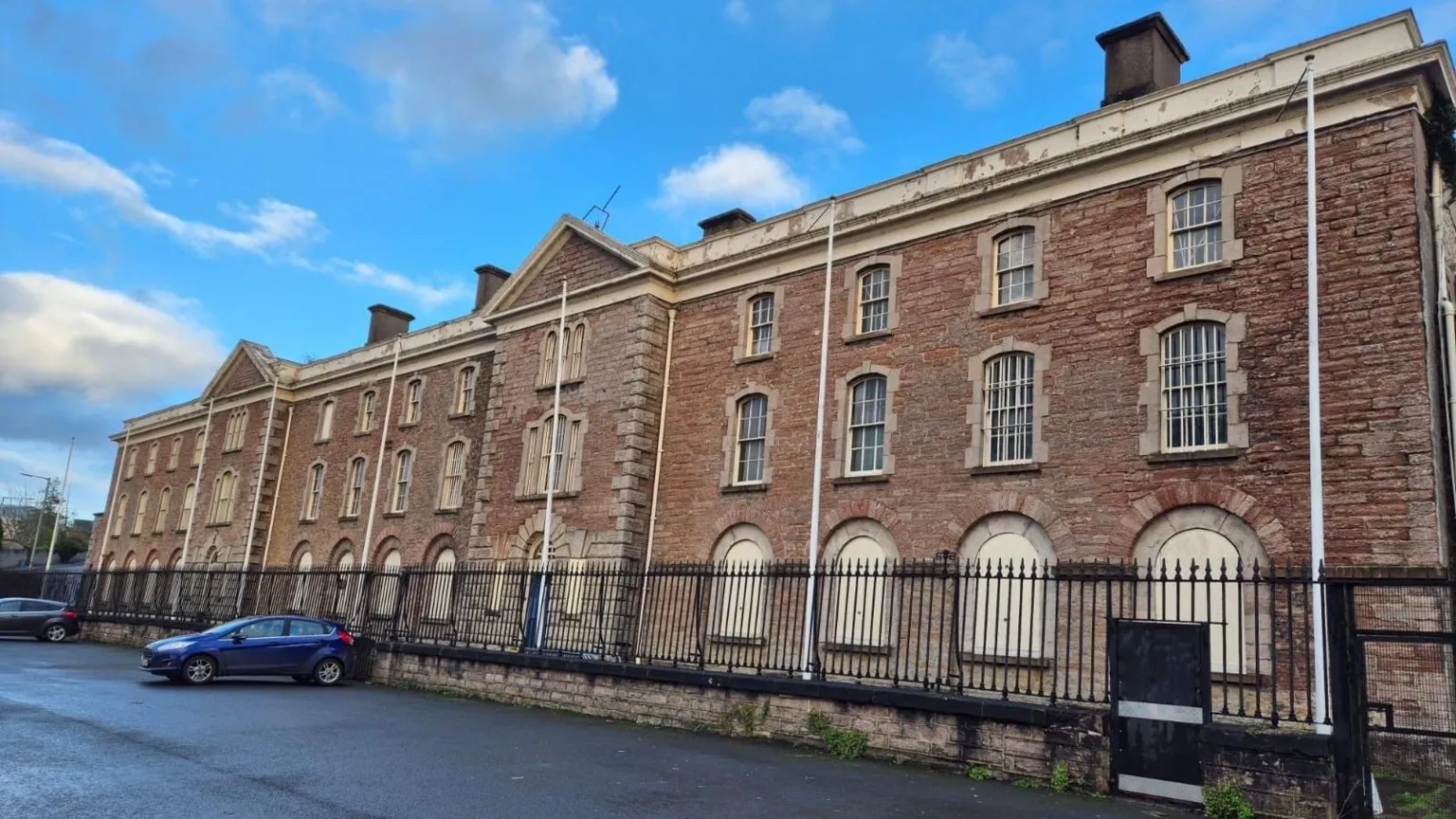 AP Cropmarks- Conjoined enclosures in BrannockAP Cropmarks- Conjoined enclosures · 600 yd
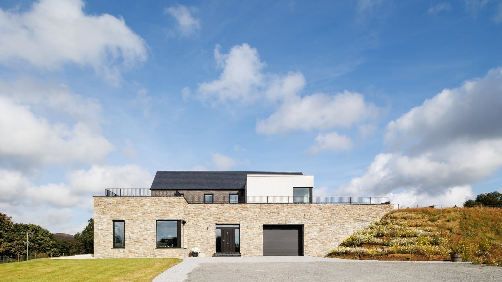 AP CropmarkAP Cropmark, Possible large hilltop enclosure · 625 yd
 Newry Canal WayWalking route · 1002 yd
_-_geograph.org.uk_-_2952416.jpg?width=1280) Former Poyntzpass Primary SchoolHistoric building · 1276 yd
Former Poyntzpass Primary SchoolHistoric building · 1276 yd Signal boxRailway Station Structures · 1321 yd
 CASTLE in LoughadianCASTLE · 1476 yd
 CASTLE in ScarvaCASTLE · 2.6 mi
 Scarva MemorialMemorial · 2.6 mi
 Canal WoodWood · 3.1 mi
 Clare GlenWood · 3.4 mi
 Glen View TrailWalking route · 3.4 mi
 FE McWilliam Gallery and StudioGallery · 4.8 mi