What is recorded here
Fairy fort / earthen ringfort in Lisfunshion is a fairy fort or earthen ringfort in Lisfunshion, County Tipperary, Ireland. Its circular valley-floor area measures 30.5 metres north to south and 29.5 metres east to west, enclosed by a bank and wide U-shaped ditch. A separate field ditch created an outer bank that makes the fort look bivallate. An eastern gap may be an entrance, while a banked rectangular structure inside has another possible entrance at its western end.
On level ground on valley floor with stream flowing E-W immediately to S, in rough pasture. Circular area (diam. 30.5m N-S; 29.5m E-W) enclosed by an earthen bank (Wth 1.7m crest, 6m base; int. H 0.46m; ext. H 1.8m) and wide, U-shaped fosse (Wth 2.8m; D 1.44m). A field ditch (Wth 1.8m; D 0.59) runs parallel to the monument and upcast from this ditch has created an outer bank (Wth 4.3m crest, 8.7m base; ext. H 1.15m) which gives the impression that the ringfort is bivallate. On both the 1st (1840) and 2nd (1907) ed. OS 6-inch maps the 'outer bank' is depicted as continuing S of the stream, however, there is no visible evidence of this. Possible entrance in E quadrant (Wth 3.9m), though there is no corresponding causeway over the fosse. Bank in E and SW has been largely reduced to scarp. In the N quadrant an internal rectangular structure (diam. 6.6m N-S x 13.7m E-W) defined by a low earthen bank (Wth 1.4m; int. H 0.23m; ext. H 0.28m) abutts the inner face of the enclosing ringfort bank. This internal feature has a possible entrance (Wth 2.4m) at W end of S side.
Compiled by: Jean Farrelly
Date of upload: 18 November 2013
The monument record does not grant public access. Check the route and ask the landowner before entering private land.
- What survives
- Recorded monument
Places near here
 Fulacht fia in CarrigavistealFulacht fia · 988 yd
 Enclosure in LisfunshionEnclosure · 1063 yd
 Site of CastleCastle, unclassified · 1734 yd
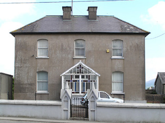 presbytery/parochial/curate's housepresbytery/parochial/curate's house · 1758 yd
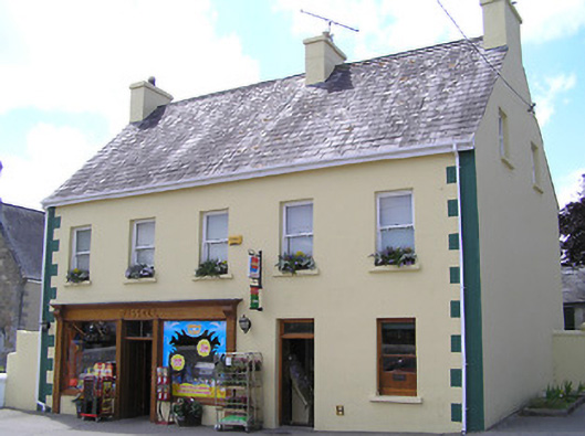 Russellhouse · 1.0 mi
 Ronald Reagan CentreHeritage attraction · 1.1 mi
 Mitchelstown CaveCave · 1.6 mi
 Shanbally CastleCastle · 1.9 mi
 Sweet ChestnutSweet Chestnut · 2.0 mi
 Sheep HillMountain / peak · 2.2 mi
 Rehill WoodForest · 2.7 mi
 Lyrefune HillMountain / peak · 2.7 mi