What is recorded here
In marshy rough grazing land, between two drainage channels. A barely discernible kidney-shaped mound (10m N-S; 10m E-W) of heat-shattered stones and charcoal-enriched soil. The opening (Wth 4m) faces W and is full of reeds. The surface of the mound is concave as if some material has been removed from it.
The above description is derived from 'The Archaeological Inventory of County Cork. Volume 5' (Dublin: Stationery Office, 2009).
Date of upload: 22 December 2009
This remains an important historical record, but the official description says the monument is no longer visible or has been destroyed. The monument record does not grant public access. Check the route and ask the landowner before entering private land.
- What survives
- No visible remains or recorded as destroyed
Places near here
 Liscarroll (Site of)Enclosure · 118 yd
 LiscarrollArchaeological place · 158 yd
 Liscarroll CastleCastle · 286 yd
 Battle of LiscarrollMajor battlefield · 393 yd
 Ch (in Rns)Church · 419 yd
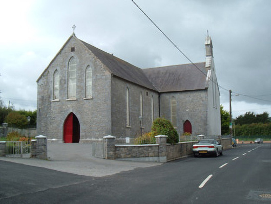 Saint Joseph's Churchchurch/chapel · 557 yd
 Windmill HillMountain / peak · 2.8 mi
 Castle (Site of)Castle, unclassified · 2.9 mi
 Churchtown TrailsVisitor information · 3.2 mi
 Lady's WellSpring · 3.3 mi
 Ballyhoura WayWalking route · 4.0 mi
 European YewEuropean Yew · 6.4 mi