What is recorded here
Lisblake and County Fermanagh still hide the large counterscarp rath, a scheduled earthwork that has watched the land since before written history. Its broad ditches and raised banks may have sheltered people, marked territory or simply forced travellers to respect the patience of the field. The name sounds like a forgotten warning, as if the ground itself had learned to push back against forgetting.
The official Northern Ireland record identifies this as LARGE COUNTERSCARP RATH. Recorded period: E.CHRIST.. Recorded protection: Scheduled. The official map point was placed at the centre of the recorded archaeological site from the source map reference.
The monument record does not grant public access. Check the route and ask the landowner before entering private land.
- What survives
- Recorded monument
Places near here
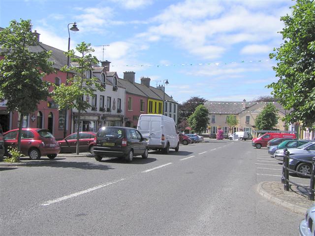 LisblakeArchaeological place · 9 yd
 Croaghrim HillMountain / peak · 1515 yd
 A.P. SITEA.P. SITE, OVAL ENCLOSURE · 1604 yd
 Church WoodsForest · 1628 yd
 Accessible Trail, Florence CourtWalking route · 1.1 mi
 Florence Court HouseHeritage attraction · 1.1 mi
 Florence CourtCountry House · 1.1 mi
 Deer ParkForest · 1.3 mi
 Red Trail, Florence CourtWalking route · 1.4 mi
 AghatirourkeMountain / peak · 1.9 mi
 Giant's GraveArchaeological place · 2.0 mi
_-_geograph.org.uk_-_167630.jpg?width=1280) Mullaghdun Rc ChurchChurch · 2.6 mi
Mullaghdun Rc ChurchChurch · 2.6 mi