What is recorded here
Linford holds a round cairn from the Bronze Age, surrounded by older Mesolithic and Neolithic remains and later C17TH SETTLEMENT and C17TH CULTIVATION. The land has been shaped, buried and reoccupied so often that the layers belong to different human tempers. One place, several ages, still standing under the county sky.
The official Northern Ireland record identifies this as C17TH CULTIVATION; C17TH SETTLEMENT; MESOLITHIC/NEOLITHIC OCCUPATION; BRONZE AGE ROUND CAIRN. Recorded period: POST-MED; NEOLITHIC; BRONZE AGE; PREHISTORIC. Recorded protection: Scheduled. The official map point was placed at the centre of the recorded archaeological site from the source map reference.
Bronze Age round cairn, dating to the later prehistoric period. Its presence indicates early funerary or ritual activity in the Linford area, reflecting broader burial practices in the region during the Bronze Age.
The monument record does not grant public access. Check the route and ask the landowner before entering private land.
- What survives
- Recorded monument
Places near here
 ENCLOSURE in LinfordENCLOSURE · 461 yd
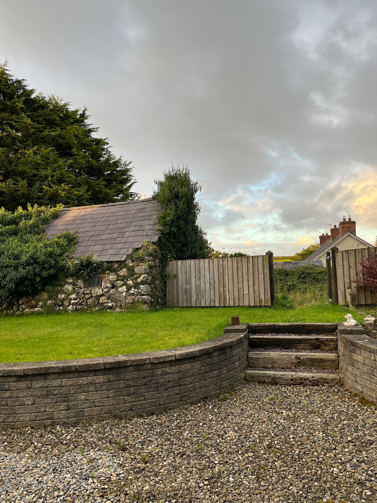 RECTANGULAR ENCLOSURE & HOUSE SITE in LinfordRECTANGULAR ENCLOSURE & HOUSE SITE · 852 yd
 Craigy HillMountain / peak · 1561 yd
 BallycoosMountain / peak · 1.2 mi
 Ballygally CastleHeritage attraction · 3.3 mi
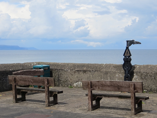 Millennium MilepostVisitor information · 3.4 mi
 Glenarm ForestForest · 3.6 mi
 CairncastleRuins · 3.9 mi
 Garden TrailWalking route · 3.9 mi
 Ballygalley HeadCliff · 4.0 mi
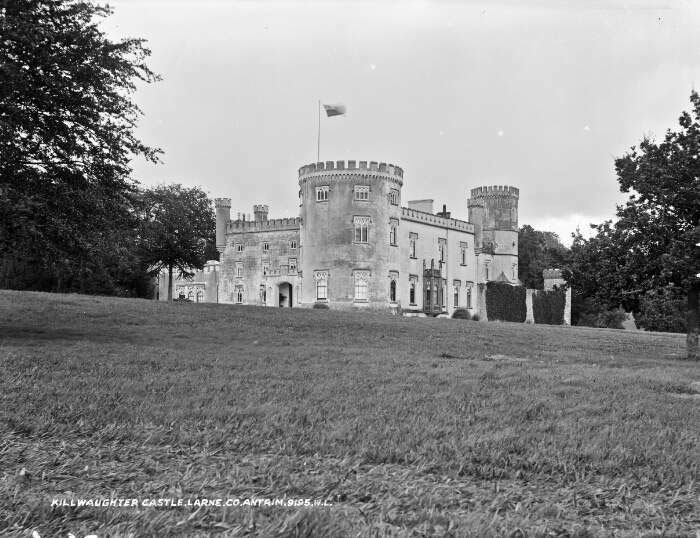 TOWER-HOUSE & BAWN: KILWAUGHTER CASTLE in DemesneTOWER-HOUSE & BAWN: KILWAUGHTER CASTLE · 4.3 mi
 Kilwaughter CastleCastle · 4.3 mi