What is recorded here
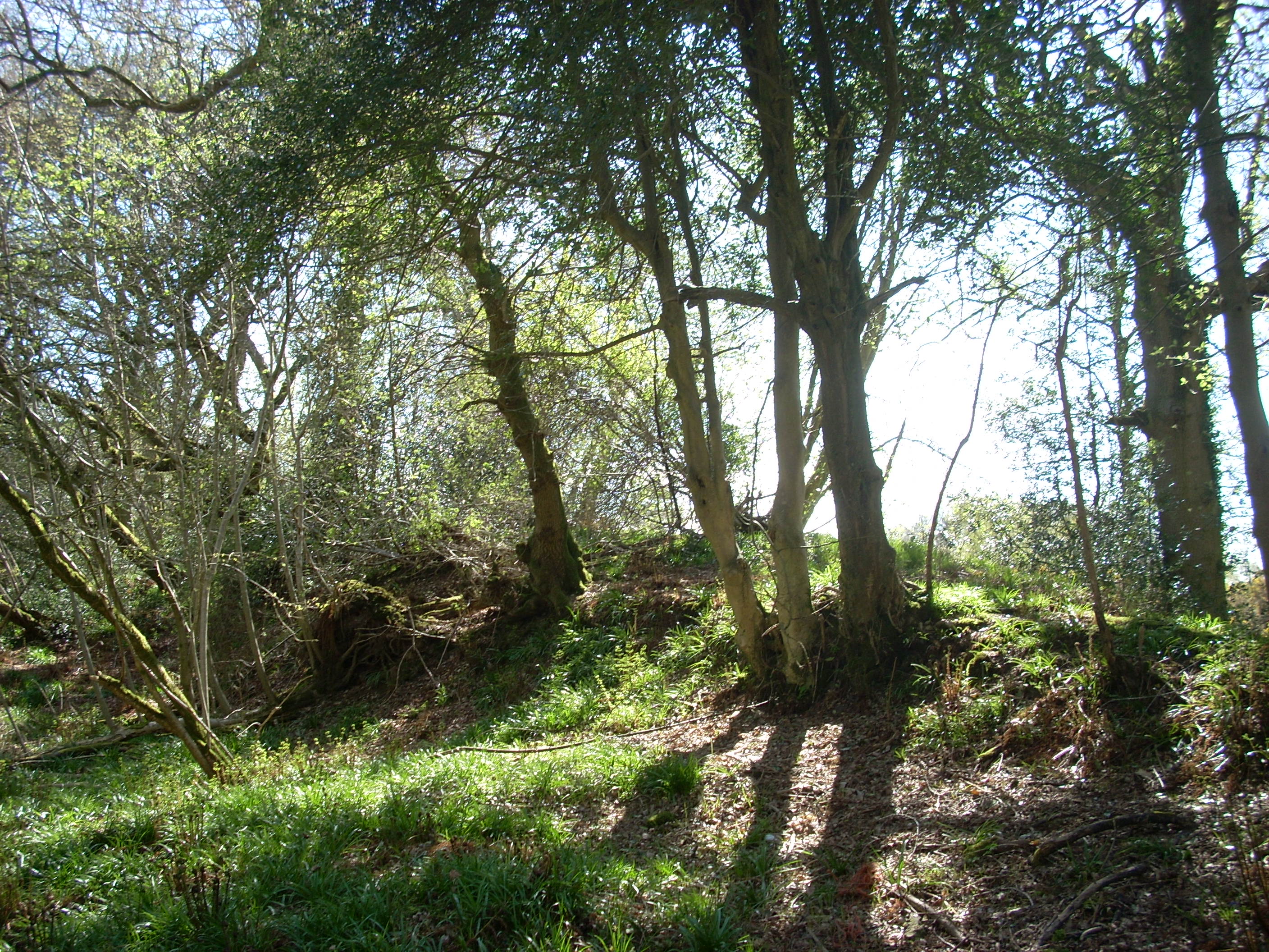
Rob Goodbody (pers. comm.) has identified a section of bank running through Bray Golf Course which may be part of the Pale Ditch. It follows the line of the county boundary and is in flat coastal terrain with views onto the Sugarloaf Mountain in the South. It is a continuous curving section of bank (L 150m) which runs on a NNE -WSW axis. It comprises a splayed, flat-topped bank (Wth at top 1.60m; Wth at base 10m; H.0.80m) and some mature Sycamores grow along the side.
Compiled by: Geraldine Stout and Padraig Clancy.
Revised upload on: 21 April 2018.
The monument record does not grant public access. Check the route and ask the landowner before entering private land.