What is recorded here
Clough-more Legaun stood in Galway pastureland until a 1839 storm fell it and men broke the fallen flag in the 1930s. O'Flaherty recorded it in 1684, giving the stone more than two centuries of witness before it lost even its ruins.
In level pastureland to E of the old road from Moycullen to Oughterard. First recorded by O'Flaherty in 1684 (Hardiman 1846, 55-6), and known traditionally as 'Clough-more Legaun'. Described by Wilde as a 'large limestone flag... prostrated by the storm of 1839 and ... measures 121/2 feet [3.8m] long by 7 1/2 wide [2.3m], and is 13 inches thick [0.33m]' (1872, 304-5). Broken up in 1930s. (O'Flanagan 1927a, Vol. 3, 164)
The above description is derived from the published 'Archaeological Inventory of County Galway Vol. I - West Galway'. Compiled by Paul Gosling (Dublin: Stationery Office, 1993).
Date of upload: 05 August 2010
Dated to the Late Neolithic or Early Bronze Age, the stone may have functioned as a territorial marker or ceremonial monument. Local tradition names it 'Clough-more Legaun,' though specific folklore or symbolic meaning is not recorded.
The monument record does not grant public access. Check the route and ask the landowner before entering private land.
- What survives
- Recorded monument
Places near here
 Mass-rock in BallynahalliaMass-rock · 894 yd
 Man-made underground passage in BallynahalliaMan-made underground passage · 909 yd
 Moycullen R. C. ChapelChapel · 1067 yd
 Eaglais Chaitliceach an Choincheapa gan Smál [Catholic Church of the Immaculate Conception]church/chapel · 1069 yd
 Galway Cakery CaféHeritage attraction · 1404 yd
 Connemara MarbleHeritage attraction · 1421 yd
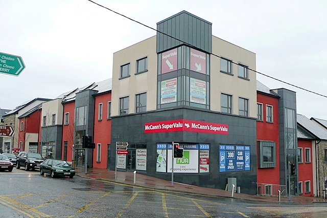 CastleCastle, unclassified · 1554 yd
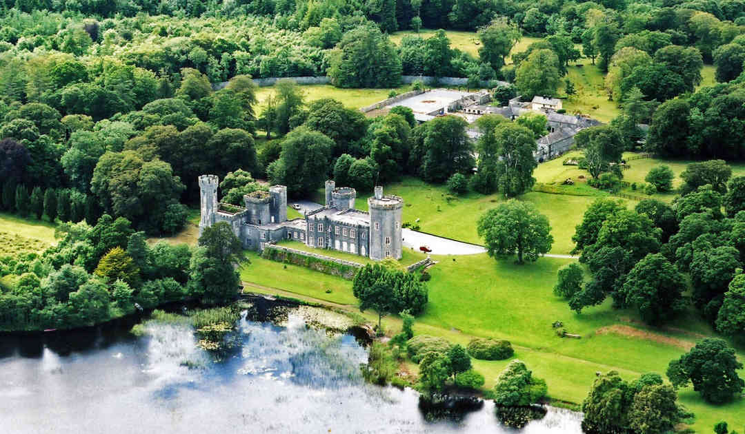 Two Sisters Castles (in ruins)Castle, tower house · 2.1 mi
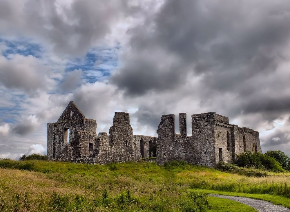 Cnoc an Bhaile NuaMountain / peak · 2.3 mi
 Annagh WoodWood · 3.2 mi
 Gurlaun IslandIslet · 3.2 mi
 IllaunnashinnaghIslet · 3.4 mi