What is recorded here
The official Northern Ireland record identifies this as BURNT MOUND / FULACHT FIADH. Recorded period: PREHISTORIC; UNCERTAIN. The official map point was placed at the centre of the recorded archaeological site from the source map reference.
A burnt mound or fulacht fia, dating to the Bronze Age, typically used for cooking or ritual purposes; common across Ireland but often found in association with other prehistoric monuments.
The monument record does not grant public access. Check the route and ask the landowner before entering private land.
- What survives
- Recorded monument
Places near here
 RathArchaeological place · 447 yd
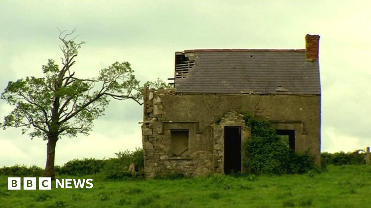 ENCLOSUREENCLOSURE, RATH? · 1010 yd
 St. Ninnidh's Rc ChurchChurch · 1.3 mi
 Bockan IslandIslet · 1.5 mi
 InishcrevanIsland · 1.5 mi
 Giant's GraveArchaeological place · 1.7 mi
 Lady Craigavon BridgeBridge · 1.9 mi
 Reilly WoodWood · 2.9 mi
 Gole WoodWood · 2.9 mi
 Molly MountainMountain / peak · 3.2 mi
 FormilMountain / peak · 3.9 mi
 Inisherk Trail, CromWalking route · 4.0 mi