What is recorded here
Ten thousand years of rain may have cut that stone into shape, yet human hands chose the slope where it stands. Dallaun is no longer visible, but the removal does not erase the choice made when someone first pointed at it and named it. The loss is an invitation to remember that clarity of vision, not to invent a story about the dead.
In pasture, on S-facing slope. Shown only on 1842 OS 6-inch map as single standing stone. Removed; no visible surface trace.
The above description is derived from the published 'Archaeological Inventory of County Cork. Volume 3: Mid Cork' (Dublin: Stationery Office, 1997). In certain instances the entries have been revised and updated in the light of recent research.
Date of upload/revision: 14 January 2009
The monument record does not grant public access. Check the route and ask the landowner before entering private land.
- What survives
- Recorded monument
Places near here
 Church in BallyvonganeChurch · 802 yd
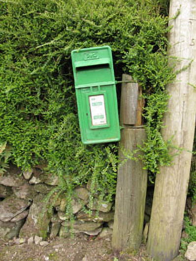 post boxpost box · 1093 yd
 CaveMan-made underground passage · 1360 yd
 Aghinagh Burial GroundBurial ground · 1391 yd
 Black WoodWood · 1.1 mi
 Mullinhassig WaterfallWaterfall · 1.6 mi
 Mullinhassig WoodWood · 1.7 mi
 BurrenMountain / peak · 2.1 mi
 Carrigadrohid Castle InfoVisitor information · 2.7 mi
 Carrigadrohid CastleHeritage attraction · 2.7 mi
 Carrigadrohid Castle (in Ruins)Castle, tower house · 2.7 mi
 Clonavrick CliffCliff · 3.5 mi