
What is recorded here
Half a circle of earth and stone still holds the eastern slope, waiting for the missing west to complete its shape. The land kept the boundary visible when human memory faded, suggesting the fort refused to disappear entirely.
Situated on an E-facing slope. It is marked only on the 1907 edition of the OS 6-inch map as an arc of hachures described in gothic lettering as a ‘Cashel’. It consists of an arc (Chord 45m NE-SW) of an earth and stone bank (Wth 2m; max. H 1m) that survives E-SW and is visible on OSI aerial images (2000).
Compiled by: Michael Moore
Date of revised upload: 27 February 2018
The monument record does not grant public access. Check the route and ask the landowner before entering private land.
- What survives
- Recorded monument
Places near here
 CloghaphookaMegalithic tomb · 763 yd
 Fincarn HillMountain / peak · 1106 yd
 FincarnCairn, unclassified · 1119 yd
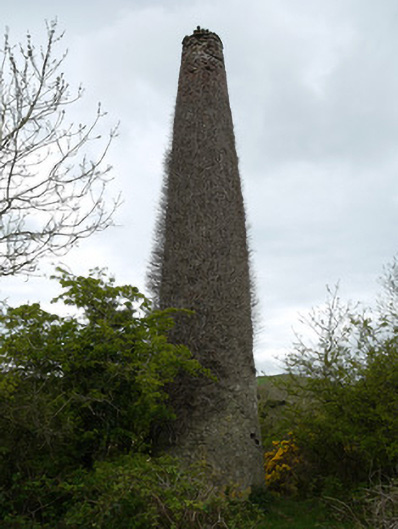 chimneychimney · 1537 yd
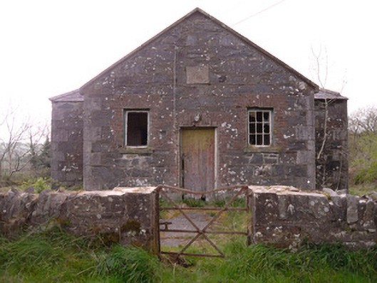 Annagleve National Schoolschool · 1.1 mi
 Gully IslandIslet · 2.0 mi
 Rock IslandIslet · 2.2 mi
 Bawn in OnomyBawn · 2.8 mi
 The CrescentMemorial · 2.8 mi
 Blaney CastleCastle · 2.8 mi
 Big Tom Memorial StatueMemorial · 2.9 mi
 Lough MucknoLake and park landscape · 3.0 mi
Other information
Photo: Credit not shown in the picture search · Rights wording not checked; contact us if this picture should be removed