
What is recorded here
On summit of Knockillon Hill, just below 402 ft. trig. stat. to SW. Mound barrow (TS075-017001-) situated immediately to the NW. Only the S half of this enclosure survives. The monument is depicted as an oval enclosure on the 1st (1840) ed. OS 6-inch map but only the S portion is indicated on the 2nd (1901-05) ed. The grass-covered bank (Wth 2.3m crest, 4.9m base; int. H 0.87m; ext. H 0.5-1.28m) is very compact, composed of clay and gravel. The N half of the enclosure appears to have been quarried out. It was heavily overgrown with nettles at time of inspection. The bank in the W quadrant is 1.32m H above the depression which separates the enclosure and the mound barrow.
Compiled by: Jean Farrelly
Date of upload: 01 April 2014
The monument record does not grant public access. Check the route and ask the landowner before entering private land.
- What survives
- Recorded monument
Places near here
 LisheenEnclosure · 928 yd
 EnclosureEnclosure, large enclosure · 1264 yd
 Knockgraffon CastleCastle · 1392 yd
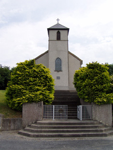 Saint Bartholomew's Catholic Churchchurch/chapel · 1525 yd
 Knockgraffon Church (in ruins)Church · 1.1 mi
 Knockgraffon MoatCastle, motte and bailey · 1.2 mi
 Caucasian zelkovaCaucasian zelkova · 3.2 mi
 Caher AbbeyHeritage attraction · 3.3 mi
 Siege of Cahir Castlesiege · 3.5 miCahir CastleHeritage attraction · 3.7 mi
 Cappa WoodWood · 3.9 mi
 Slieveanard NE TopMountain / peak · 4.0 mi
Other information
Photo: Credit not shown in the picture search · Rights wording not checked; contact us if this picture should be removed