What is recorded here
Indicated is a twenty-metre tree-ring on the Knockglass House estate beside the Deel River, first mapped in 1922 but absent from the 1837 survey. It may have marked a boundary, a meeting place or a household gift, yet no human name survives with it. The ring still turns light into shadow and shadow into shape, doing what enclosures have always done: giving the eye a reason to stop.
In pasture, located on the estate of Knockglass House, on lands bordered by the Deel River. Listed in the RMP (1996) as a possible enclosure. Not indicated on the 1837 OS 6-inch map, it is shown on the 1922 edition as a circular area (diam. c. 20m) planted with trees, incorporated on the E side into a N–S field fence. Inspected in 1995, it was determined to be a tree-ring.
Compiled by: Jane O'Shaughnessy
Date of upload: 29 January 2015
The monument record does not grant public access. Check the route and ask the landowner before entering private land.
- What survives
- Recorded monument
Places near here
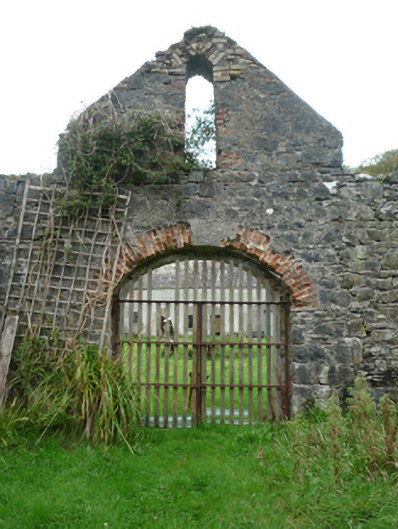 Knockglass Housewalled garden · 368 yd
 IndicatedFairy fort / earthen ringfort · 459 yd
 TobarnasgornaigheHoly well · 1488 yd
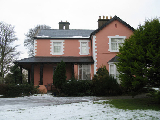 Abbeytown Housefarm house · 1.5 mi
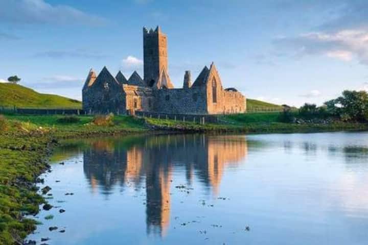 Castle in RuinsCastle, tower house · 1.9 mi
 Deel CastleCastle · 1.9 mi
 Castle IslandIslet · 3.8 mi
 Roe IslandIslet · 4.0 mi
 Grave of the KingsArchaeological place · 4.2 mi
 Titanic Memorial ParkMemorial · 6.5 mi
 KnockaffertaghMountain / peak · 12 mi
 BirreencorraghMountain / peak · 12 mi