What is recorded here
'The two cropmarks [KE030-104----, KE030-105----] were noted on two separate aerial photographs, one black and white, the other colour. The black and white was taken from 5200 feet, the colour was slightly lower at 5000 feet. On visiting the site it was discovered that the field had undergone intensive reclaimation and cultivation. Deep ploughing had taken place for the purpose of growing barley. No trace of either of these sites could be seen on the ground. The aerial photographic evidence would suggest that the sites were circular with a diameter of approximately 20m. The sites have been interpreted as ploughed out barrows (Connolly 1996, 51).'
Compiled by Michael Connolly for the Archaeological Survey of Ireland as part of a survey of the Lee Valley area in 1996-97.
Date of upload: 27 April 2012
The monument record does not grant public access. Check the route and ask the landowner before entering private land.
- What survives
- Recorded monument
Places near here
 Kilquane Church (in Ruins)Church · 387 yd
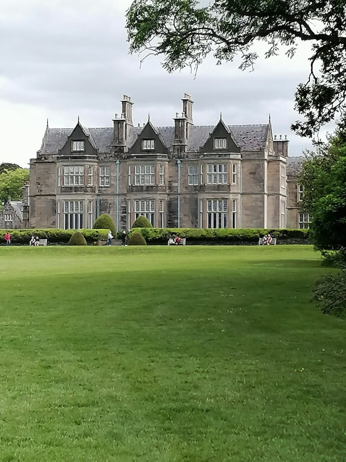 Enclosure in BallymacthomasEnclosure · 591 yd
 LissooleenArchaeological place · 797 yd
 PoulatouirtCave · 1068 yd
 Poulclashcannon (blocked)Cave · 1361 yd
 IndicatedCastle, unclassified · 1526 yd
 Common AlderCommon Alder · 1.0 mi
 Ballyseede Castlegates/railings/walls · 1.1 mi
 Site of McElligotts CastleCastle, unclassified · 1.2 mi
 Monument WoodWood · 1.5 mi
 Civil War MemorialMemorial · 3.2 mi
 CruslineMountain / peak · 3.4 mi