What is recorded here
Knockash hillfort stands on a steep Galway summit, its broad stone ring and natural cliff forming an irregular chamber seventy metres across. People may have climbed the rocky path to watch the land below, keep livestock safe, or mark the boundary between neighbouring families. The earth has worn most of the answer away, but the hill still holds the shape of human intention.
On the summit of a prominent steep-sided hill, in hilly pastureland. Aerial reconnaissance in June 1986 (ASGAP 267:5-7) revealed this large irregular enclosure (diam. c. 170m). It is defined from NW through E to S by a low stony bank (Wth 3.1m; ext. H 1m; int. H 0.3m) and is best preserved at E. From S to SSW, only intermittent traces of the bank are evident. The steep natural slope of the hill forms the enclosing element from SSW to NW. A gap (Wth 3m) occurs at ENE. The interior is uneven and rocky. A cashel (GA115-053----) lies c. 45m to the E.
Compiled by: Galway Archaeological Survey, UCG
Date of upload: 14 December 2017
The monument record does not grant public access. Check the route and ask the landowner before entering private land.
- What survives
- Recorded monument
Places near here
 TobermacduaghHoly well · 507 yd
 Lisheenaclara Bridgebridge · 1123 yd
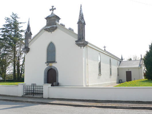 Saint Mary's Catholic Churchchurch/chapel · 1513 yd
 CaveMan-made underground passage · 1.1 mi
 Stone Islands SouthIslet · 2.2 mi
 Island McCooIslet · 2.3 mi
 Ballynamantragh CastleCastle, unclassified · 2.3 mi
 Long PointHeadland · 2.4 mi
 Castle (in ruins)Castle, tower house · 2.8 mi
 Scalpeen RockNamed rock · 4.0 mi
 Derrybrien Bog SlideHeritage attraction · 5.2 mi
 Dartfield Horse MuseumHeritage attraction · 5.4 mi