What is recorded here
Knockansweeny held a standing stone on Mrs Curtin's land until breaking reduced it to an eighteen-inch stump with an eight-and-a-half-foot girth. Bowman measured that remaining chunk in 1934, capturing the moment the stone stopped touching sky and became a boundary marker for forgotten human days. The exact spot has vanished, but the size and shape still resist the claim that the place never existed at all.
Bowman (1934, 591) recorded standing stone on Mrs Curtin's land; 'This was broken, remaining part now c. 1ft 6in high by 8ft 6in girth'. Exact location not known.
The above description is derived from the published 'Archaeological Inventory of County Cork. Volume 4: North Cork' (Dublin: Stationery Office, 2000). In certain instances the entries have been revised and updated in the light of recent research.
Date of upload/revision: 14 January 2009
The monument record does not grant public access. Check the route and ask the landowner before entering private land.
- What survives
- Recorded monument
Places near here
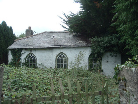 surgery/clinicsurgery/clinic · 659 yd
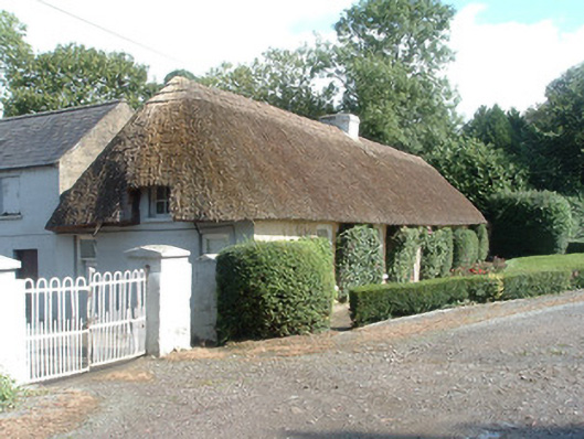 Keal Cottagehouse · 801 yd
 Fulacht fia in SmithfieldFulacht fia · 1200 yd
 IndicatedEnclosure · 1245 yd
 Dromaneen CastleHeritage attraction · 1.5 mi
 In loving memory of Elvis O'DonoghueMemorial · 3.5 mi
 Gurteenkreen Castle (Site of)Castle, unclassified · 4.0 mi
 Mallow Castle RuinRuins · 4.2 mi
 Mount HillaryMountain / peak · 4.8 mi
 Graveyard in Ballygiblin (duhallow By.)Graveyard · 5.6 mi
 Eagle's NestMountain / peak · 6.0 mi
 European YewEuropean Yew · 6.6 mi