What is recorded here
Indicated is a circular earthen fort in County Kerry, Ireland, rising two metres above pasture on a north-west facing slope. Its level interior and convex centre suggest human shaping rather than natural accumulation, while field boundaries still extend from its scarp. The absence of a remembered name does not diminish the clarity of its form.
In pasture, on a level area of a NW-facing slope. A raised circular area (50m N-S) defined by a scarp (H 2.05m). The interior is level and slightly convex at the centre. A raised linear feature (L 10m N-S) in the NW quadrant may be dumped material. Field boundaries extend from the scarp at N, WNW and SW. This is probably the rath mentioned in the N of the townland in the 1840s and which was not known by 'any particular name' (OSNB, Kilcredane, 11). It is indicated as a circular enclosure (diam. c. 50m) on the 1846 and 1894 OS 6-inch maps.
Compiled by: Elizabeth Byrne, Ursula Egan and Sheila Ronan, Archaeological Survey Unit, University College, Cork.
Date of upload: 31 January 2011
The monument record does not grant public access. Check the route and ask the landowner before entering private land.
- What survives
- Recorded monument
Places near here
 Gweestin Br.Bridge · 615 yd
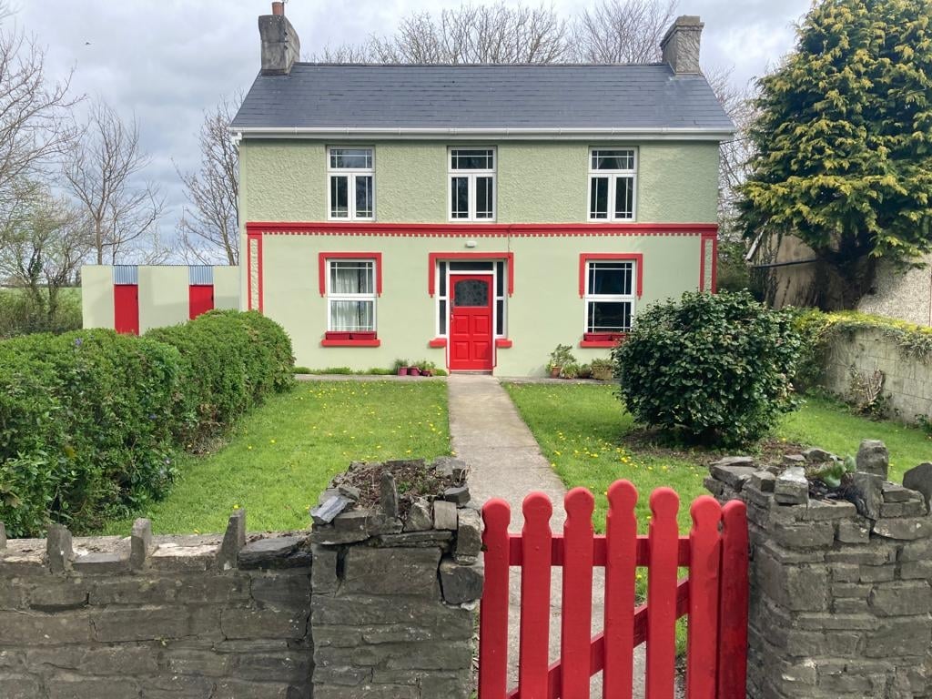 Enclosure in Cloonydonigan UpperEnclosure · 690 yd
 R.C. ChapelChurch · 738 yd
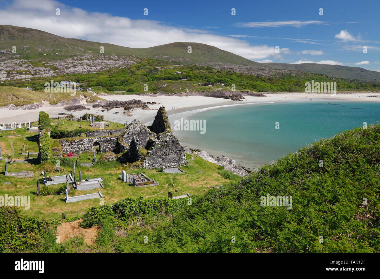 Enclosure in CaherdeanEnclosure · 813 yd
 Fieries CastleCastle · 3.0 mi
 Aghadoe Early Medieval Ecclesiastical SiteHeritage attraction · 3.4 mi
 Parkavonear CastleCastle · 3.4 mi
 The Kerry Creamery ExperienceHeritage attraction · 4.5 mi
 Famine MemorialMemorial · 4.5 mi
 Circular WalkWalking route · 4.7 mi
 GinkgoGinkgo · 4.8 mi
 Kerry 2nd Brigade of the Irish Republican ArmyMemorial · 4.9 mi