
What is recorded here
Lisbeg is a hidden fairy fort in County Kerry, Ireland, where dense overgrowth now swallows most of its earthen bank. The surviving northern arc still shows a four-metre-wide ridge and shallow ditch, marking a circular enclosure large enough for human life or fairy mischief. It sits near the larger Lismore rath, suggesting the slope once held more than one dwelling before vegetation reclaimed the boundary between the worlds.
In pasture, on a slight S-facing slope. The rath is inaccessible due to dense overgrowth. An overgrown earthen bank (Wth 4.2m; int. H 0.7m; ext. H 0.7m) and a shallow external fosse (Wth 2m; D 0.1m) are visible along the N arc where the overgrowth is less dense. The rath is indicated as a circular enclosure (diam. c. 25m) on the 1846 OS 6-inch map abutted by a NNW-SSE field boundary at W. On the 1893 OS 6-inch map the field boundary at W is depicted as truncating the SW arc of the rath. A large bivallate rath, named 'Lismore' (KE039-088001-), lies c. 80m to the ENE.
Compiled by: Elizabeth Byrne, Ursula Egan and Sheila Ronan, Archaeological Survey Unit, University College, Cork.
Date of upload: 31 January 2011
The monument record does not grant public access. Check the route and ask the landowner before entering private land.
- What survives
- Recorded monument
Places near here
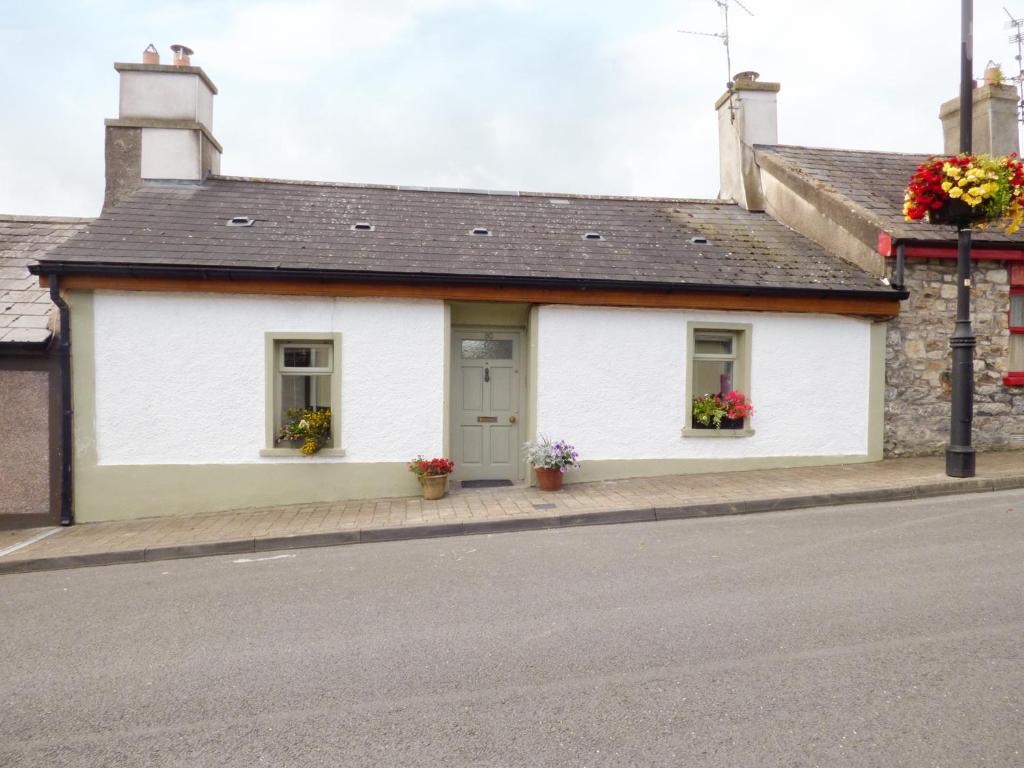 LismoreFairy fort / earthen ringfort · 144 yd
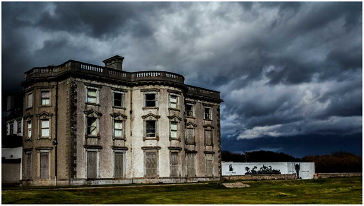 Man-made underground passage in Curraghmore EastMan-made underground passage · 437 yd
 Ballyfinnane Br.Bridge · 1751 yd
 Site of CourtCastle, unclassified · 1.8 mi
 CastleCastle, ringwork · 1.9 mi
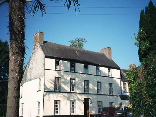 Castlefarmhouse · 1.9 mi
 Ballygamboon Forest Recreation AreaWood · 2.6 mi
 Common AlderCommon Alder · 3.5 mi
 Scotia's GraveArchaeological place · 4.1 mi
 PoulatouirtCave · 4.3 mi
 KnockmoyleMountain / peak · 4.3 mi
 Poulclashcannon (blocked)Cave · 4.5 mi
Other information
Photo: Credit not shown in the picture search · Rights wording not checked; contact us if this picture should be removed