What is recorded here
Knockanaddoge enclosed a large rectangular building inside a D-shaped border on a terrace above the Dinin river valley. The boundary and building disappeared from later mapping, while trees and drains took their place. Local fairy traditions still belong to the hidden shape beneath the plantation.
On a terrace below the hills and above the valley floor and lower slopes of the N side of the Dinin river valley. There are good views in all directions. Indicated on the 1st (1839) ed. OS 6-inch map as a D-shaped enclosure (dims. c. 38m NE-SW; L of straight side NW-SE c. 34m) with a large rectangular building (L c. 15m; Wth c. 7m) in the interior, orientated NW-SE. This enclosure and the building are not depicted on the subsequent 1899 revision OS 6-inch map. In its place there is an irregularly shaped area (dims. c. 57m NW-SE; c. 36m NE-SW) defined by a dashed line with trees drawn in the interior, suggesting it had become an unenclosed tree plantation. When visited in 1987 a dense and largely impenetrable tree plantation was in evidence, crossed by several deep drains. There are local fairy traditions associated with this monument.
Compiled by: Jean Farrelly
Date of upload: 30 January 2019
The monument record does not grant public access. Check the route and ask the landowner before entering private land.
- What survives
- Recorded monument
Places near here
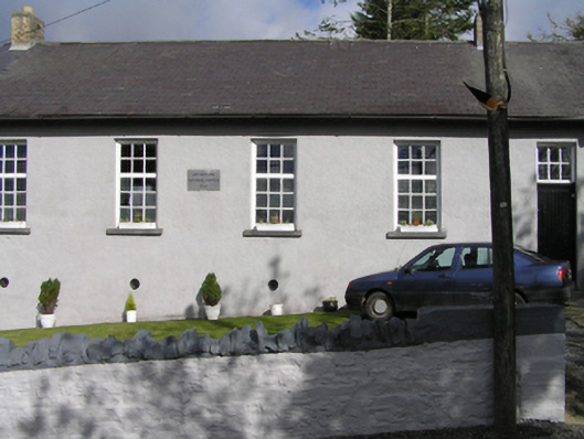 Smithstown National Schoolschool · 1311 yd
 church/chapelchurch/chapel · 1330 yd
 IndicatedEnclosure · 1687 yd
 Rockafoil WoodWood · 1754 yd
 Enclosure in KnockanaddogeEnclosure · 1.2 mi
 Sawney's WoodForest · 1.2 mi
 Clogharinka Castle (in ruins)Castle, unclassified · 1.5 mi
 The GarrisonCastle, motte · 1.8 mi
 1798Memorial · 1.9 mi
 Estate YardMemorial · 1.9 mi
 Footprints In CoalMuseum · 1.9 mi
 Castlecomer Discovery ParkHeritage attraction · 1.9 mi