What is recorded here
Indicated is a circular drystone enclosure in County Cavan, Ireland, still dense with vegetation and lacking a visible entrance. It has no written history, no owner’s name and no date, yet its stones remain arranged around a narrow inner space. The absence of identification does not diminish the shape; it refuses to be turned into a display. A person may stand inside the ring, breathe in the smell of wet earth and listen to the field beyond the stones. The place asks only that they remain present, not that they force it into a story.
Not marked on OS 1836 or 1876 eds. Known locally as a 'fort'. Raised circular area (int. diam. c. 30.7m) enclosed by the remains of a drystone rampart. Original entrance not recognisable. Densely overgrown with vegetation.
The above description is derived from the published 'Archaeological Inventory of County Cavan' (Dublin: Stationery Office, 1995). In certain instances the entries have been revised and updated in the light of recent research.
Date of upload/revision: 22 December 2008
The monument record does not grant public access. Check the route and ask the landowner before entering private land.
- What survives
- Recorded monument
Places near here
 Enclosure in Ture (tullyhaw By.)Enclosure · 949 yd
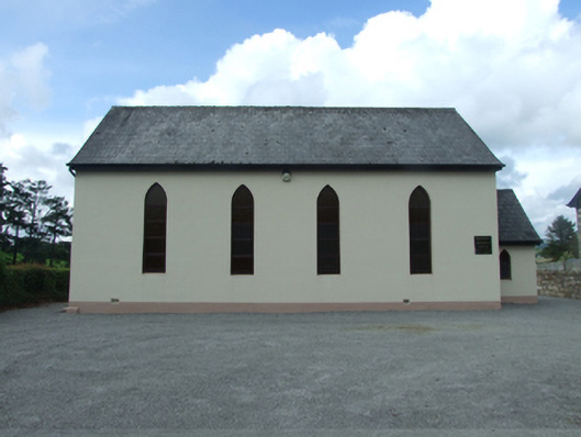 Blacklion Methodist Churchchurch/chapel · 1091 yd
 Sweathouse in Cornagee (clankee By.)Sweathouse · 1397 yd
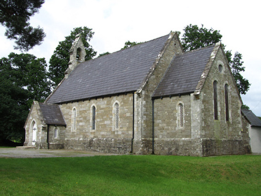 Killinagh Churchchurch/chapel · 1401 yd
 Legnaveagh SinkholeCave · 1739 yd
 CullentraghMountain / peak · 1.1 mi
 Boulder GraveyardArchaeological place · 1.1 mi
 BurrenMountain / peak · 1.1 mi
 Cavan BurrenHeritage attraction · 1.2 mi
 Dolines/SinkholesCave · 1.2 mi
 Cavan Burren ParkForest · 1.2 mi
 Marlbank ViewpointViewpoint · 1.5 mi