What is recorded here
Situated in an area of pasture-land with Yellow River to N and Lough Derravaragh 770m to W. Earthwork (WM007-025----) 400m to ESE. 230m to the E there is a well, marked 'Toberawaugh' (WM007-130----) which could be the remains of a holy well. Annotated as ‘A place called The Tomb’ on the OS Fair Plan map. Depicted as ‘Site of Church & Grave Yard’ (WM007-008----) on the 1837 ed. OS 6-inch map. Possibly the site of the Early Christian monastery of Ceall Tóma/Tuama founded by Ninnidh Láimhiodhan of the Ceinéal Laoghaire whose feastday fell on the 13th of November (Masterson 1998, 43-4; Ó Riain 2011, 516).
The graveyard appears to be represented as a dotted circular enclosure on the 1837 map. Present remains consist of a poorly preserved low earth and stone sub-rectangular shaped mound (approx. dims 7m E-W x 2.75m N-S; H 0.6m). There is a hint of some low earthworks to the S and E and in particular traces of a curving bank which extends away from the mound, curving SE to meet the projecting corner of the E field boundary. No surface remains visible of a church or graveyard. Cultivation ridges aligned NE-SW can be seen running across the site.
Compiled by: Frank Coyne & Caimin O'Brien
Date of upload: 21 February 2017
The monument record does not grant public access. Check the route and ask the landowner before entering private land.
- What survives
- Recorded monument
Places near here
 Site of Church & Grave YardChurch · 3 yd
 ToberawaughHoly well · 261 yd
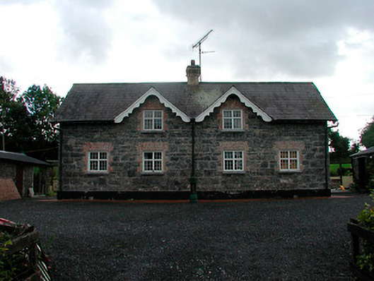 worker's houseworker's house · 691 yd
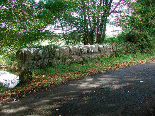 Kiltoom Bridgebridge · 793 yd
 Bawn in KiltoomBawn · 1142 yd
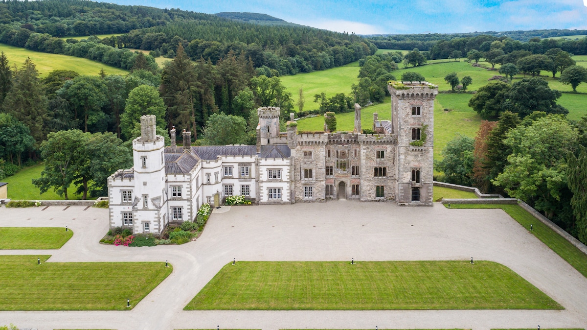 CastleCastle, tower house · 1.0 mi
 European BeechEuropean Beech · 1.5 mi
 Pedunculate OakPedunculate Oak · 1.7 mi
 Bridge Memorial (Kenna)Memorial · 3.2 mi
 Rock of CurryCliff · 4.6 mi
 St Feichin's MillHeritage attraction · 5.0 mi
 Fore AbbeyHeritage attraction · 5.1 mi