What is recorded here
Situated today on a natural terrace in an area of pasture-land on the W face of a high hill overlooking Lough Derravaragh 110m to the W. Originally located on the E shoreline of Lough Derravaragh as shown on the 1837 ed. OS 6-inch map. Levelled earthwork (WM007-023----) 60m to NE, levelled earthwork (WM007-020----) 130m to SE. No surface remains visible of levelled monument. Visible as a crop mark on 2005 OSI aerial photograph and on Digital Globe Aerial photograph taken November 2011. Depicted as an irregular grove of trees on the 1837 ed. OS 6-inch map and hachured as a sub-circular enclosure (approx. diam. 31m N-S; 29m E-W) defined by a scarp and external fosse on the 1911 ed. OS 25 inch map.
Compiled by: Frank Coyne and Caimin O'Brien
Date of upload: 11 April 2017
The monument record does not grant public access. Check the route and ask the landowner before entering private land.
- What survives
- Recorded monument
Places near here
 OutlinedEnclosure · 575 yd
 Crannog in FaughalstownCrannog · 1019 yd
 Mortimer's CastleArchaeological place · 1535 yd
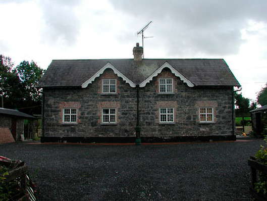 worker's houseworker's house · 1670 yd
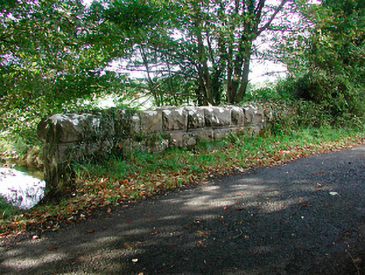 Kiltoom Bridgebridge · 1.0 mi
 Bawn in KiltoomBawn · 1.0 mi
 European BeechEuropean Beech · 2.1 mi
 Pedunculate OakPedunculate Oak · 2.3 mi
 Bridge Memorial (Kenna)Memorial · 2.6 mi
 Seafin HillMountain / peak · 7.9 mi
 Slieve GullionMountain / peak · 9.7 mi
 Zip WireHeritage attraction · 10.0 mi