What is recorded here
Fairy fort / earthen ringfort in Kilshane is a fairy fort or earthen ringfort in Kilshane, County Tipperary, Ireland. It occupies generally level pasture as a roughly circular raised area measuring about 32 metres northwest to southeast and 32 metres northeast to southwest. An earthen bank about 5.85 metres wide defines the edge, standing 0.25 metres high inside and 1 to 1.5 metres high outside, while an external ditch about 3 metres wide and 0.6 metres deep runs beyond it. Thorn trees cover or mark the western, northern and northeast sections, and another enclosure lies about 800 metres to the west-southwest.
In generally level pasture. Roughly circular raised area (dims c. 32m NW-SE; c. 32m NE-SW) defined by earthen bank (Wth c. 5.85m; int H c. 0.25m; ext H c. 1-1.5m). External fosse (Wth c. 3m; D 0.6m). Covered/defined by thorn trees W-N-NE. Enclosure (TS067-032----) located c. 800m to WSW.
Compiled by: Jean Farrelly
Date of upload: 26 August 2011
The monument record does not grant public access. Check the route and ask the landowner before entering private land.
- What survives
- Recorded monument
Places near here
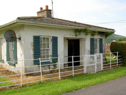 Arraghsleagate lodge · 259 yd
 Kilshane Churchchurch/chapel · 262 yd
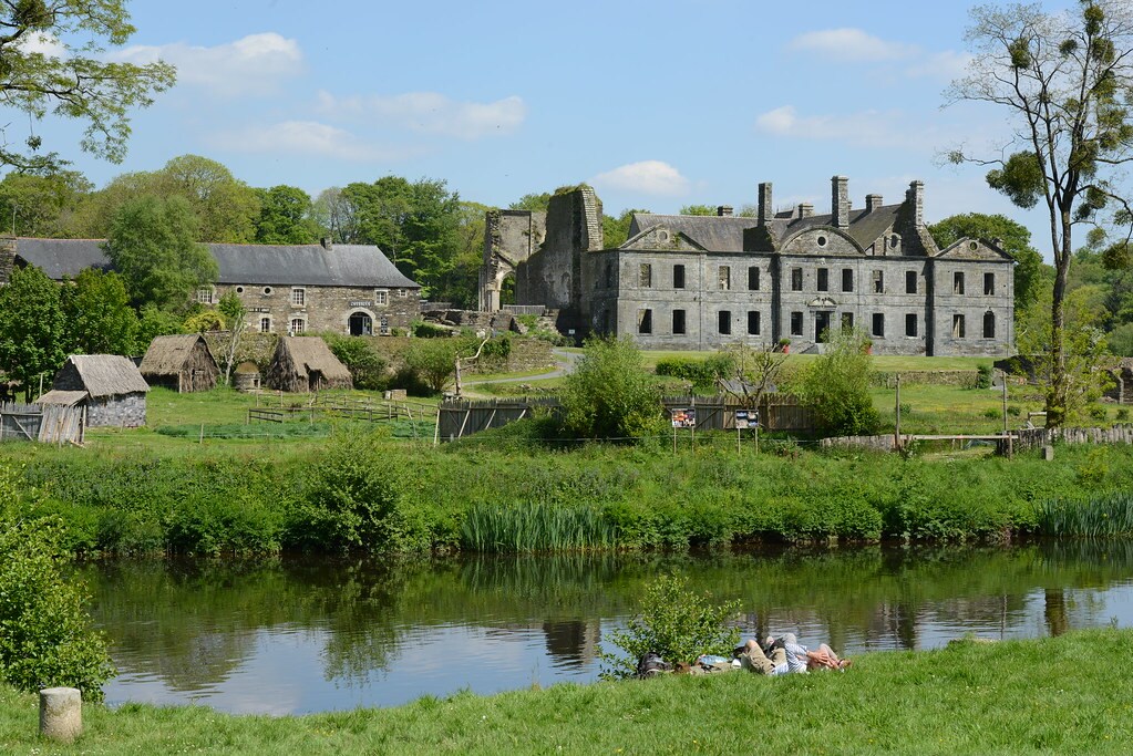 Enclosure in Lacken (cordangan Par.)Enclosure · 930 yd
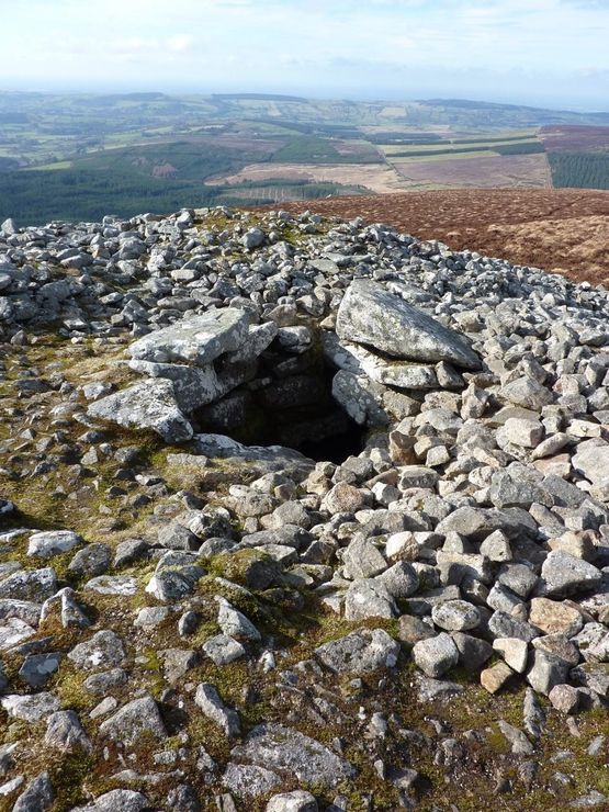 Site of Seefin CastleCastle, unclassified · 1035 yd
 Sunday WellHoly well · 1155 yd
 IndicatedBawn · 1543 yd
 Bansha ForestForest · 1.2 mi
 European ashEuropean ash · 1.6 mi
 I.R.A. 3rd. Tipperary Brigade MemorialMemorial · 1.7 mi
 It's a long way to TippereryHeritage attraction · 2.2 mi
 The Maid of ErinMemorial · 2.3 mi
 The RockViewpoint · 2.4 mi