What is recorded here
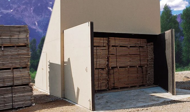
This site, which both Henry and Mitchell identified as a corn-drying kiln (1957, 94; 1989, 46), is located on the S slopes of Bray Head, Valencia Island. A group of well-preserved rectangular huts are located c. 170m to W (KE087-021----, KE087-022----, KE087-023002-, KE087-024---- and KE087-031----) and a series of broad cultivation ridges occur in the immediate vicinity of the site. The present remains consist of a rectangular block of drystone masonry, with a circular bowl and traces of a flue, and two short stretches of drystone walling.
The rectangular structure is well-defined at S and E, where it measures 4.1m and 1.95m long respectively. It survives up to 1.1m high above ground level at S, and consists of a rubble and earth core faced by a basal row of orthostats overlain by drystone masonry. Only a few protruding stones are visible at W, while its N side is obscured by hill-washed material. Adjacent to its E side is a 1m wide space, faced with drystone masonry, cut into the sloping ground surface. A double row of orthostats, occurring 1.5m to S of the structure, extends for a length of 2.2m. Henry noted that this and the stretch of walling at E were connected to the rectangular block by a series of horizontally disposed slabs (1957, 94). These slabs are no longer evident. The bowl of the kiln occurs at the W end of the structure. Measuring 1.05m in diameter at its mouth, it is infilled with debris to within .8m of its top. There are remnants of a flue below this in the S face of the structure.
The above description is derived from A. O'Sullivan and J. Sheehan (compilers), 'The Iveragh peninsula: an archaeological survey of South Kerry'. Cork University Press (1996), no. 1457. In certain instances the entries have been revised and updated in the light of recent research.
Date of upload: 1 August 2013
Add the human story, a picture, a first-hand message or a missing place.
Earn 5 points after the picture is checked and accepted.
Add a pictureAdd its storyTalk or ask a questionAdd a new placeThe monument record does not grant public access. Check the route and ask the landowner before entering private land.
Conversation about this place
Questions and messages sit beneath the source record. They are checked before appearing.
No questions or messages yet.
Ask a question or join the conversation